TerraGo Mobile Apps Add New Advanced Mapping Features and Laser Range Finder Integration

TerraGo Mobile Apps Add New Advanced Mapping Features and Laser Range Finder Integration
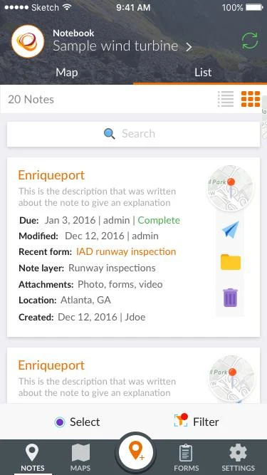
TerraGo Edge 4.1 and any app created with the TerraGo Magic zero-code app platform includes enhanced mapping and surveying features to accelerate and improve field data collection in remote or off-road locations. Whether you need to locate an asset in challenging terrain or quickly navigate to a new project location, the latest features in TerraGo Edge and TerraGo Magic apps will help you get the job done faster, while saving time and money.
New features in TerraGo Edge 4.1 and TerraGo Magic 2.1 include:
New Advanced Mobile Mapping Features for Last Mile Directions
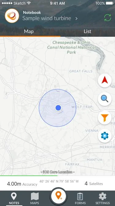
- Turn-by-Turn Navigation: Automatically navigate to specific locations in TerraGo Edge using Apple® and Google® directions and maps.
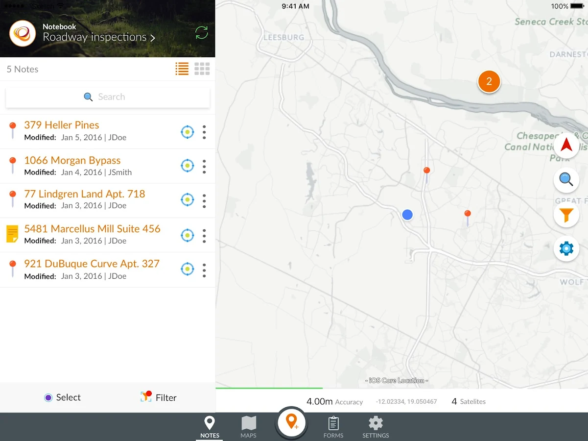
- Extended Waypoint Guidance and Proximity Alerts: View remaining distance and direction to specific waypoints on a map in TerraGo Edge to locate off-road assets. Configurable proximity alerts will indicate when you’re close to your destination.
- GPS Offset Mapping: Remotely capture points, lines, and polygons with high-accuracy using a laser range finder to accelerate data collection work, map difficult to reach locations and minimize physical movements.
- TruPulse® Certified Integration: Seamless integration with Laser Technology’s (LTI) top of the line, professional-grade laser range finders.
And More…Learn more about all the new features in the TerraGo Edge 4.1 Product Release Notes.
Try TerraGo Edge v4.1 by downloading the iOS or Android App.
For more information, please visit the TerraGo Knowledge Base or contact support@terragotech.