
Tag "Uzbekistan"
GIS
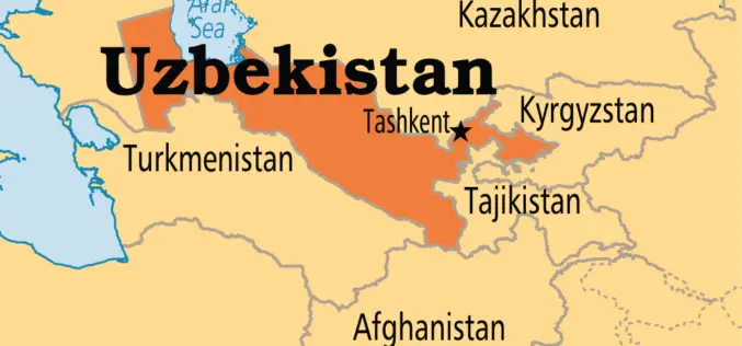
Uzbekistan Will Apply International Geodetic Coordinate Systems on Its Territory
According to the recent press release by the State Committee of the Republic of Uzbekistan for Land Resources, Geodesy, Cartography and State Cadastre, there is no open coordinate system in Uzbekistan,
GIS
Korea to Launch Spatial Data Infrastructure Building Projects in Central Asia, Africa
According to recent news by Business Korea, The National Geographic Information Institute (NGII) is planning to launch spatial data infrastructure (SDI) building projects in Kazakhstan, Kyrgyzstan, Uzbekistan and Mongolia. The
Research Papers
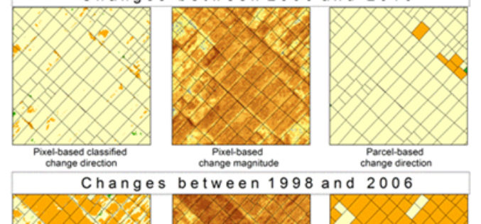
SPOT-Based Sub-Field Level Monitoring of Vegetation Cover Dynamics: A Case of Irrigated Croplands
SPOT-Based Sub-Field Level Monitoring of Vegetation Cover Dynamics: A Case of Irrigated Croplands – Olena Dubovyk, Gunter Menz, Alexander Lee, Juergen Schellberg, Frank Thonfeld and Asia Khamzina Abstract: Acquiring multi-temporal spatial information on vegetation condition
