
Tag "USAID"
Remote Sensing
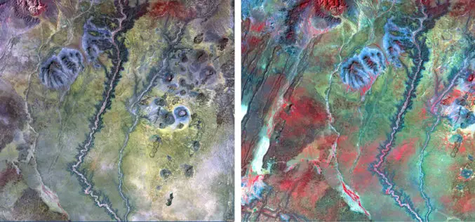
NAU Scientist Uses Remote Sensing to Detect Groundwater in Drought-stricken East Africa
Drought is a condition when a region notes a deficiency in its water supply whether surface or underground water. A drought can last for months or years, or may be declared
GIS
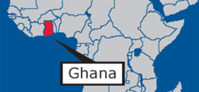
GIS Data Hub Established in Cape Coast: Ghana
According to the recent news reported by the Ghana Business News, a Geographic Information System (GIS) Data Hub has been created for the Department of Town and Country Planning in Cape
Business
Esri Joins International Partnership to Enhance Climate Resilience in Developing Countries
Colombia, Ethiopia, and Bangladesh to Harness ArcGIS Platform to Achieve Long-Term Sustainability Redlands, California—In a next phase of support of The White House Climate Action Plan, Esri will donate its best-of-breed
