
Tag "Urban Local Body"
GIS
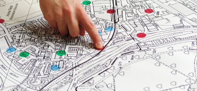
Indian Economic Survey 2017 Indicated ULBs Can Use Satellite Imagery for Property Mapping
According to recently report by the MonetControl Bureau – The Economic Survey 2017 indicated that the urban local bodies could use satellite imagery to map properties and generate additional revenue
