
Tag "Unmanned Aircraft System"

Trimble Business Center Software Adds New Vertical Solutions Support and Streamlines Field-to-Office Productivity
Enhancements for CAD, GIS, Infrastructure and Tunneling Applications SUNNYVALE, Calif., May 9, 2018—Trimble (NASDAQ: TRMB) announced today version 4.1 of Trimble® Business Center office software that enables surveyors and geospatial
Trimble Sells its Unmanned Aircraft System Business to Delair-Tech
Strategic Alliances with Delair-Tech and Microdrones Expand UAS Platform Options While Leveraging Trimble Software and Data Solutions SUNNYVALE, Calif., Oct. 10, 2016—Trimble (NASDAQ: TRMB) announced today that Delair-Tech has acquired its
DAT/EM Systems International INTERGEO Booth to Feature 3D Building Capture and UAV Technologies
Anchorage, Alaska, USA. October 6, 2016 – DAT/EM Systems International® will exhibit at this year’s INTERGEO® Conference in Hamburg, Germany with RhinoTerrain™ SARL, Pulse Aerospace and local partner DAT/EM Systems
No Proposal with DGCA for Allowing Commercial Use of Drones
There is no proposal at present with aviation regulatorDGCA for allowing commercial use of drones in the country, government said today. The Directorate General of Civil Aviation has recently put

Successful Launch for interaerial SOLUTIONS
Karlsruhe, 6 October 2015 – The interaerial SOLUTIONS communications platform premiered at INTERGEO 2015 in Stuttgart really took off with exhibitors and visitors alike. Unmanned aircraft system (UAS) manufacturers and
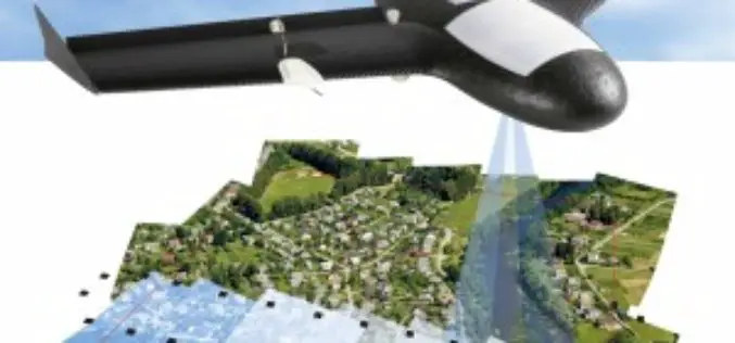
Trimble Takes Flight with New Multirotor Unmanned Aircraft System
Latest Addition to UAS Portfolio Makes Working in Tight Spaces Easy Trimble (NASDAQ: TRMB) announced today the ZX5 Multirotor Unmanned Aircraft System (UAS), a new aerial imaging and workflow solution

KU Awarded New FAA Center of Excellence Designation
The University of Kansas is among three universities across the states that are members of the new Federal Aviation Administration Center of Excellence for Unmanned Aircraft Systems, or UAS, which

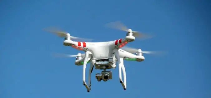
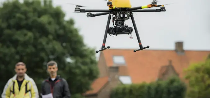
Trimble Partners with Industry Leading Multirotor Unmanned Aircraft System Manufacturer
New Geospatial and Agriculture Workflows and Deliverables through Additional Aerial Imaging Solutions ATLANTA, May 5, 2015—Trimble (NASDAQ: TRMB) announced today that it is partnering with leading unmanned aircraft system (UAS)
