
Tag "UAV"
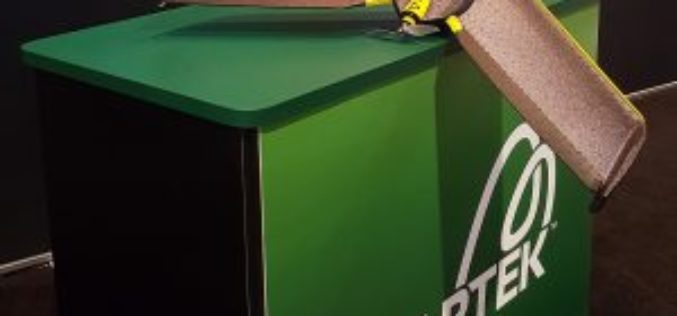
senseFly and Maptek Sign Agreement Around Data Collection and Analysis Solution
Swiss professional drone maker, senseFly, has recently signed an agreement with Maptek, experts in precision measurement and visualisation for the mining industry, that enables Maptek to offer its customers a
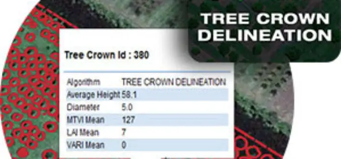
Tree Crown Delineation a New App to Monitor Trees
The latest drone app, Tree Crown Delineation automatically identifies individual tree crowns in your aerial survey. It also generates a geospatial layer of tree crowns with overall health level and

Chandigarh Begins UAV Based Aerial Survey of Properties
According to the recent news by The Indian Express, Chandigarh has become the first city in the country to conduct an aerial survey of properties using drones. The Chandigarh administration

LiDAR Technology for Monitoring Bridge Structure Defect and Health
Road infrastructure of a country plays a crucial role in the national economy. Among all road infrastructure, Bridges are one of the vital assets and histories has given us various evidence

Drones to Monitor Indian Railways Projects
PTI- NEW DELHI: Stepping up the monitoring mechanism, railways has opted for the state of the art surveillance devices such as drone and geo-based spatial based satellite technology to monitor
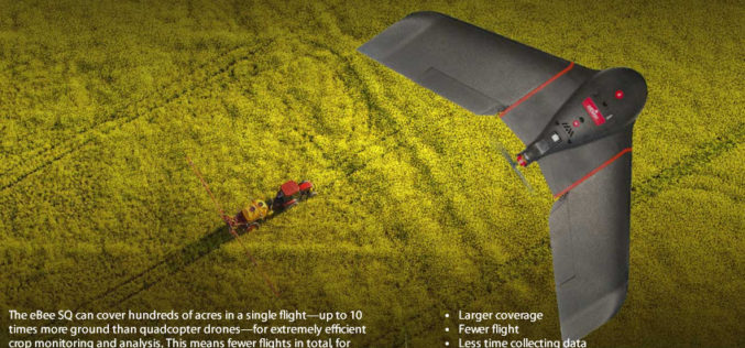
senseFly Ups The Agricultural Ante With Launch Of High Precision, Large Coverage eBee SQ Drone
This new drone is built for the Parrot Sequoia multispectral camera and can cover up to 10 times more ground than small quadcopter systems Cheseaux, Switzerland, August 31 — Swiss
Kongsberg Geospatial and FAA ASSURE UAS Centre of Excellence Partner for Operational Trials of Detect and Avoid and Beyond Visual Line of Sight Display Software
Ottawa, CA, 29 August 2016: Kongsberg Geospatial, an Ottawa-based developer of real-time, mission critical, geospatial visualisation software, and the Federal Aviation Administration’s ASSURE UAS Center of Excellence, lead by Mississippi
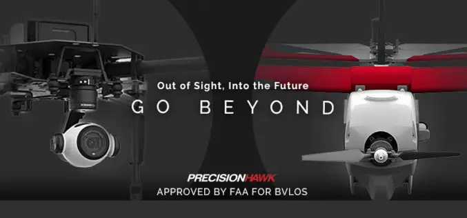
FAA Grants PrecisionHawk First Waiver to Fly Drones beyond Line Of Sight
Since receiving an experimental airworthiness certificate from the FAA to research operations within extended visual line of sight, PrecisionHawk has proven a safety case to advance its research to include
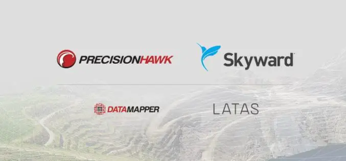
PrecisionHawk and Skyward Partner to Provide Full-Service Drone Platform to Commercial Customers
PrecisionHawk’s leading UAVs, data mapping and analysis software and LATAS safety platform will be connected to Skyward’s operations management platform to provide a holistic drone workflow for the commercial market

Get Ready for the New Small Drone Rule!
A new world of opportunities for drone operators opens next week on August 29 when the new small drone rule for non-hobbyists becomes effective. The Federal Aviation Administration (FAA) wants

