
Tag "UAV"

USDA Funds Bodkin Design to Develop UAV Sensor for Precision Agriculture
Bodkin Design & Engineering, LLC has been awarded a $100,000 contract from the U.S. Department of Agriculture (USDA) to develop a compact hyperspectral imager for UAV platforms. This unique camera

PrecisionHawk Brings Its Drone Data Platform to Australia
The launch of a Sydney office and partnership with agricultural powerhouse Ruralco, brings PrecisionHawk’s drone and data packages close to home for growers and businesses to get started with the
PHOTOMOD Technical Seminar in Agra, India – Limited Offer
PHOTOMOD technical seminar will take place on November 16 (Wednesday). This free seminar provides a forum for professionals working in the field of photogrammetry and covers topics related to increasing

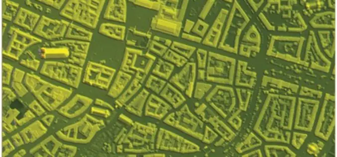
Central Government Directs Chandigarh to Complete Aerial Mapping Project Within 1 Year
According to recent news by The Indian Express, The Union government on has directed the Chandigarh administration to complete the project of digitization of land records in the city within the

Archaeologists Use Drones to Build 3D Virtual-Reality Map
Archaeologists at The Australian National University (ANU) and Monash University are conducting a trial of new technology to build a 3D virtual-reality map of one of Asia’s most mysterious sites
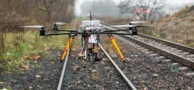
Union Railway Ministry Using Drones to Monitor Rail Project in Mumbai
According to recent news by the Hindustan Times, The Union railway ministry has been using drones to take updates on the developments of Seawoods-Nerul-Uran railway project. Drones are mainly being used
Trimble Sells its Unmanned Aircraft System Business to Delair-Tech
Strategic Alliances with Delair-Tech and Microdrones Expand UAS Platform Options While Leveraging Trimble Software and Data Solutions SUNNYVALE, Calif., Oct. 10, 2016—Trimble (NASDAQ: TRMB) announced today that Delair-Tech has acquired its
SimActive Launches Subscription UAV Software
SimActive Inc., a world-leading developer of photogrammetry software, is pleased to announce a new subscription-based offering for Correlator3D™ UAV. The rental option allows users with a dynamic workload to access
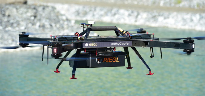
RIEGL with Broad and Impressive Product Range, New Products at Intergeo 2016
RIEGL uses the INTERGEO platform traditionally to give an insight and an overview on its comprehensive LiDAR sensors and systems product range. At booth C3.059 in hall A3, on the
DAT/EM Systems International INTERGEO Booth to Feature 3D Building Capture and UAV Technologies
Anchorage, Alaska, USA. October 6, 2016 – DAT/EM Systems International® will exhibit at this year’s INTERGEO® Conference in Hamburg, Germany with RhinoTerrain™ SARL, Pulse Aerospace and local partner DAT/EM Systems
