
Tag "Texas"
GIS
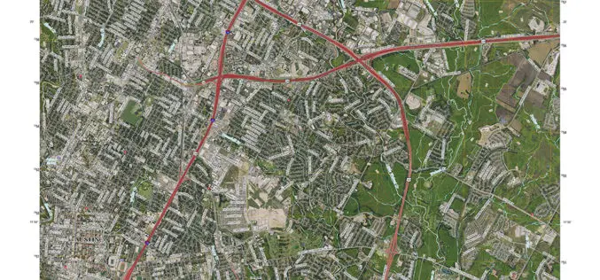
New Maps for Texas and Oklahoma Released
Updated US Topo maps for Texas and Oklahoma available for download; add Census Bureau road data, wetlands layer and select trails New US Topo maps for Texas and Oklahoma are
Remote Sensing
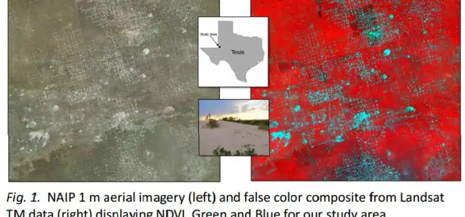
Utilizing Patch Metrics to Improve Classification of Remote Sensing Imagery
Classified remote sensing imagery is used to inform management of various natural resources, though achieving accurate results is a persistent challenge. In particular, some land cover types that are functionally
