
Tag "surveying"
Trimble Geospatial Announces Release of New Version of Trimble Access
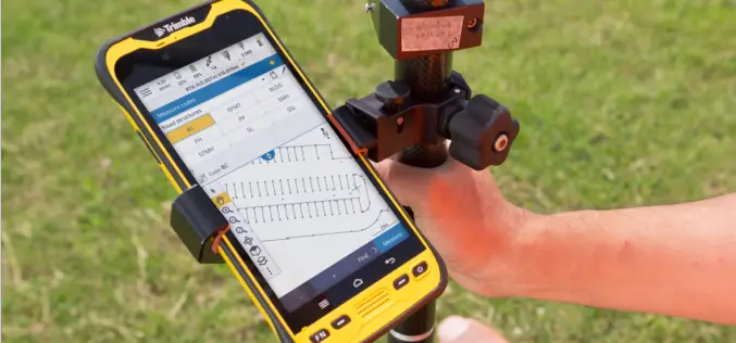
New Version of Trimble Access Enables Broader Accessibility to Android OS for Surveyors Trimble TDC600 Android Device and Trimble Access 2020 Software Provide More Flexibility for a Diverse, Mobile Workforce. SUNNYVALE, Calif.,
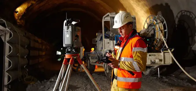
Geospatial Technologies for Infrastructure Construction & Monitoring
In an earlier editorial, on the concept and creation of smart cities, I had stated that ‘Most of the works or projects currently being taken up under the
Virtual Surveyor Streamlines Workflow, Enhances User Experience with New Version of Drone Surveying Software
LEUVEN, Belgium, 10 July 2018 – The Virtual Surveyor drone surveying software now offers a faster, more efficient workflow and better overall user experience in a more stable platform. These

Col-East Inventories Salt Piles from the Air Each Winter in Preparation for Snowy Weather
NORTH ADAMS, Massachusetts, 20 March 2018 – Surveying and Mapping Consultants Inc. (SMC) of Braintree, Mass., has teamed with Col-East International Ltd. for the past 12 years to monitor inventories

Delair Introduces Industry’s Most Advanced Fixed-Wing UAV for LiDAR-Based Aerial Surveying and 3D Mapping
New Delair DT26X LiDAR drone combines LiDAR sensing with RGB camera data to enable highly accurate and high-resolution 3D representation and measurement over large areas with minimal flights and in
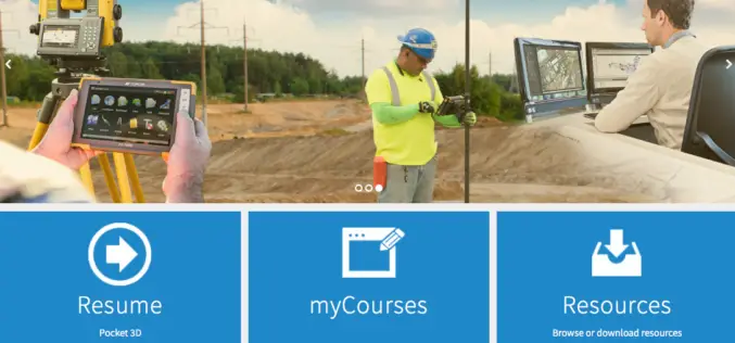
Topcon Announces New Online Courses For myTopcon Support Site
LIVERMORE, Calif., U.S./ CAPELLE A/D IJSSEL, the Netherlands – January 23, 2018 – Topcon Positioning Group announces a new addition to its myTopcon support and training site — new eLearning courses designed for online user-paced
GeoCalc SDK 7.4 Update Includes Support for New Projections and JSON Wrapper Classes for Calling to GeoCalc Cloud
Hallowell, Maine – January 23, 2018 – Blue Marble Geographics (bluemarblegeo.com) is pleased to announce the immediate availability of version 7.4 of the GeoCalc Software Development Kit (SDK). This powerful toolkit

Leica Webinar: Leica Captivate Pipeline: A Transformative Approach to Pipeline Surveying
Leica Captivate Pipeline: A Transformative Approach to Pipeline Surveying Tue, Aug 8, 2017 11:00 AM – 12:00 PM PDT With more than 30,000 miles of pipeline planned and under construction
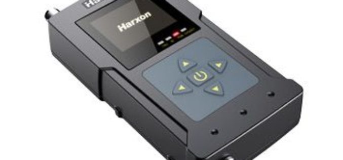
Harxon Releases Rover Radio for RTK Surveying and GNSS Positioning
Harxon has introduced an advanced, high-speed, Bluetooth-enabled wireless rover radio.The HX-DU1603D, designed for GNSS/RTK surveying and precise positioning, will be showcased this September at the Intergeo trade show in Berlin. The HX-DU1603D

Trimble Introduces New Android Application for Field Surveying and Data Collection
Easy-to-Use Trimble Penmap for Android Simplifies Field Work SUNNYVALE, Calif., July 26, 2017—Trimble (NASDAQ: TRMB) introduced today Trimble® Penmap® for Android™, a cloud-connected application for field surveying and high-accuracy Geographic
