
Tag "SuperGIS Server"
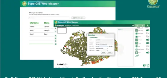
Building a Unique GIS Website without Coding by Brand New SuperGIS Server 10
Supergeo, the global leading GIS software provider, is glad to announce its brand-new GIS server software, SuperGIS Server 10, is expected to be launched in the mid-November! Inheriting the high
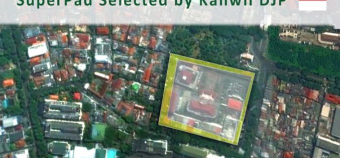
Taxation Authority in Indonesia Selects SuperPad 3.3 to Collect Data
With the assistance of Supergeo’s partner in Indonesia, DataScrip, the regional offices of Indonesian taxation authority recently selected SuperPad 3.3 as the mobile GIS software for spatial data collection. Under
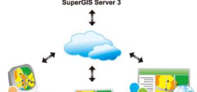
Towards a More Integrated Web GIS Solution – SuperGIS Server 10
When your company grows bigger as the project scale becomes larger, to organize huge volume of data wisely turns to be increasingly important. Based on the abundant experience of developing
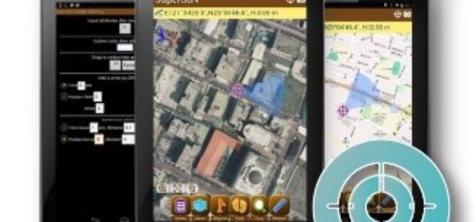
Election Commission of Malaysia Selects SuperSurv for Efficient Spatial Data Collection
Supergeo is delighted to announce that with the assistance from Supergeo’s partner in Malaysia, Suruhanjaya Pilihan Raya Malaysia (SPR Malaysia, lit. Election Commission of Malaysia) has recently chosen SuperSurv 3.3 as the
SuperGIS Server 3.3 Is Now Released!
SuperGIS Server 3.3.0001, the latest version of SuperGIS Server is now released! In this version, the most distinguishable feature will be the new ultra application, which has not only a
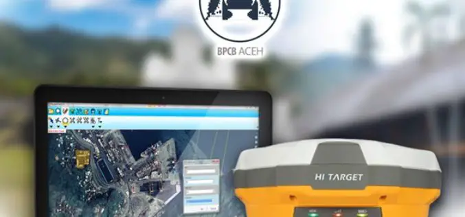
SuperPad Helps Cultural Heritage Preservation in Aceh
The worldwide GIS software and solution provider, Supergeo is pleased to announce that the full-featured mobile GIS software, SuperPad, has been selected by BPCB Aceh to assist heritage preservation in
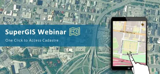
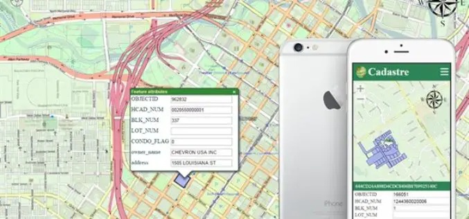
Access Cadastral Data by One Click!
Cadastral data is a combination of real estate registry and metes-and-bounds, including attributes like ownership, precise location, area, and land value. It is an important and fundamental data source in
Upgrade Your Work Efficiency by GIS Complete Solution of Supergeo
The product team of Supergeo is continually striving to develop various GIS software to pursue the latest trend in the geospatial industry. Corresponding to the advancement of hardware and various
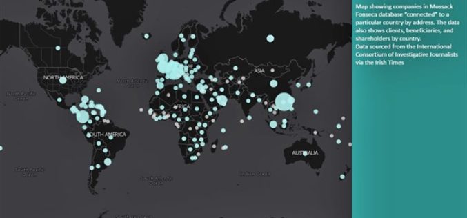
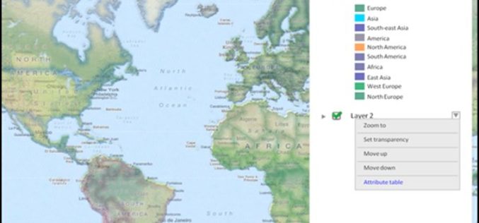
The Power of Maps
The map is a powerful way to visualize data and tell stories. As the internet becomes more and more popular, it is a lot easier to share your maps than
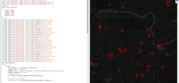
Design an Interactive Map SuperGIS Server
The biggest difference between a printed map and a digital map is that the digital map provides interactivity for users. For example, with GIS software, users can click on a
