
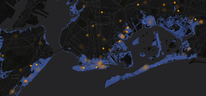
Tag "spatial analysis"
Esri Releases Advanced Analytics to Increase Retail Sales
Indoor Spatial Analysis of Consumer Behaviors Boosts Profits and Increases Customer Satisfaction January 17, 2017 – Redlands, California—Esri, the global leader in spatial analytics technology, today announced a partnership with GISinc

SuperGIS Webinar: Planning and Managing Tourism in a Spatial Way
Planning and Managing Tourism in a Spatial Way Wednesday, 1st June | 09:00 AM (GMT+2) Your local time “Adventure is worthwhile in itself.” Indeed, tourism is one of the fastest growing industries

New Esri Workbook Teaches Basic Mapmaking and Spatial Analysis Techniques
Redlands, California—The new edition of GIS Tutorial 1: Basic Workbook, published by Esri, teaches the fundamentals of using geographic information system (GIS) technology, including making maps, geocoding data, and analyzing
Pratt Institute Announces the Spatial Analysis and Visualization Initiative
On April 28, Pratt Institute will celebrate the official opening of the Spatial Analysis and Visualization Initiative (SAVI), the Institute’s research lab and service center focused on Geographic Information Systems

Kuwait Spares No Effort in Keeping Up with Remote Sensing Systems
KUWAIT – Deputy Director General for Information Technology Majida Al-Naqib said on Sunday that Kuwait spares no effort to keep up with remote sensing system and harness all the capabilities

Blue Marble Webcast: Attribute Management in Global Mapper
Blue Marble Webcasts: Attribute Management in Global Mapper August 25, 2015 No Registration Required Synonymous with the “I” in GIS, attribution is the data associated with features that are spatially

Vector based Spatial Analysis using TdhGIS
TdhGIS is an open source spatial analysis tool data based on vector geometric data. TdhGIS has an open database structure and the ability to import and export common file formats, including

Learn What You Can Do with ArcGIS Spatial Analysis
Go Places with Spatial Analysis Free Online Course – Learn What Spatial Analysis Can Do for You This Massive Open Online Course (MOOC) is for people who know

Supergeo Invest in Innovative Geographic Network Analysis for Next Generation GIS Products
Supergeo Technologies, a leading global provider of GIS software and solutions, announces the investment plan in advanced geographic network applications. The technology collaboration is conducted by Supergeo and the Department
