
Tag "Singapore"

Singapore Housing & Development Board Leverages Geospatial Technology for Land Use Planning
Since land-use planning is vital in a land-scarce Singapore, the republic’s Housing & Development Board (HDB) has leveraged Geographic Information System (GIS) technology in its Integrated Planning and Analysis system

Singapore Land Authority 3D Smart Nation Map Debuts on the World Stage
The Singapore Land Authority (SLA) has revealed the highly anticipated first phase of its national 3D mapping project to an audience of more than 16,500 of the world’s leading geospatial
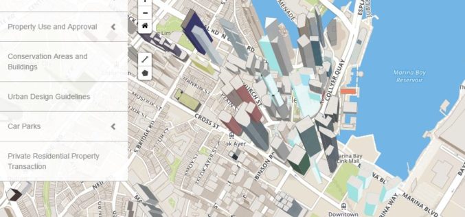
Singapore: Urban Redevelopment Authority Launches Online Portal for Information on Land Matters
Recently, the Urban Redevelopment Authority (URA) has revamped its online map services with new and enhanced features to make information more easily accessible and online transactions effortless. The new portal,

Singapore goes for 3D mapping to Improve Municipal Services
The authorities of Singapore are hopeful to create a 3D map of Singapore within the next two years. The 3D mapping efforts are part of project to use technology in
