
Tag "Sentinel-1"
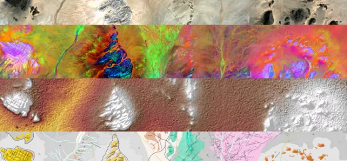
Sentinel-1 and Sentinel-2 Missions Helping to Map Minerals in Africa
The traditional way of geological mapping is to record the location of rock outcrops, rock and fossil samples and structures observed in the field. The detailed description and sketches of
Learn SNAP Using EU Flagship Copernicus Satellite Program
Geo University has come up with a video course that provides a detailed walkthrough guide of the European Space Agency (ESA) Sentinels Application Platform (SNAP) software. A common architecture for all Sentinel Toolboxes is
New Open-source Software Enhances Satellite Geodesy Capability
Scientists from Geoscience Australia have released new software that will improve the ability to process big remotely-sensed satellite datasets. The new “PyRate” software being presented this week at the European
ESA Sentinel App Season Update!
A new update of the ESA Sentinel App is coming up! The latest changes have brought us the acquisition plans and swath animations for Sentinel-1A, Sentinel-1B and Sentinel-2A, a powerful

Geomatica 2016 Release Highlights
Geomatica 2016 Release Highlights March 15, 2016 | 4:00 AM EST – 9:00 AM (GMT) | 2:00 PM EST – 7:00 PM (GMT) PCI Geomatics is the developer of Geomatica- a complete
Combining SAR and Optical Imagery for Mapping and Change Detection
PCI Geomatica Webinar: Combining SAR and Optical Imagery for Mapping and Change Detection February 25, 2016 | 4:00 AM EST – 9:00 AM (GMT) | 2:00 PM EST – 7:00 PM (GMT) PCI
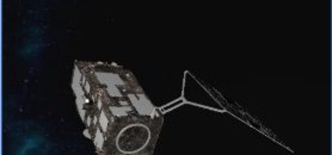
The “Radar Vision” Goes On – Two More Sentinel-1 Satellites
– Airbus Defence and Space signs €143M contract with Thales Alenia Space – New Sentinel instruments ensure services for Copernicus beyond 2029 Airbus Defence and Space, the world’s second-largest space
Free and Open Access to Sentinel-1 and Sentinel-3 Data Would Contribute To the Indonesian Blue Revolution
The Indonesian archipelago is one of the most important reservoirs of marine biodiversity on the planet, which makes a substantial contribution to the local fishing, aquaculture and tourism industries. Illegal
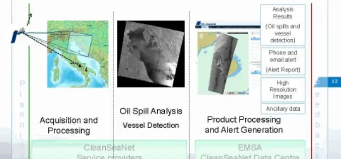
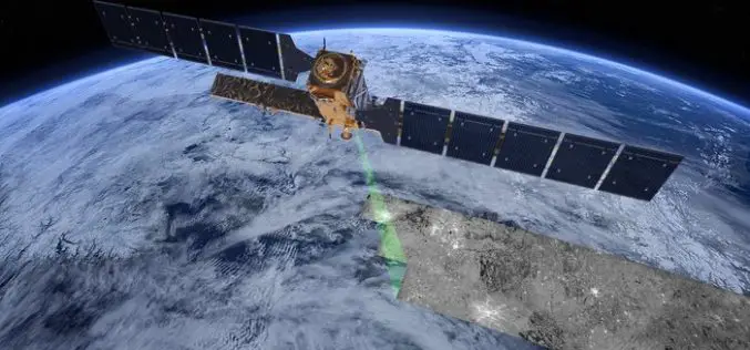
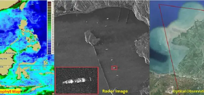
CleanSeaNet:Near Real Time Service to Protect Sea
In a wake to protect our sea, to safeguard marine habitat, serious risks of ecological damage and socio-economic losses, the European Maritime Safety Agency (EMSA) has started a satellite-based pan-European oil spill and
