
Tag "satellite"
Iran to Launch up to Two Satellites by the End of This Persian Year
According to recent news by the TECHRASA, the Head of Iranian Space Agency had recently announced that Iran would launch up to two satellites by the end of this Persian year.

GPS and Satellite Mapping Technology to Monitor the Forest Cover
Maharashtra, India – Maharashtra government will use Global Positioning System (GPS) and satellite mapping technology to monitor the forest cover in the state. “The government will use GPS and satellite
Scientists Develop Air-pollution Warning Software Using Satellite Images
Vietnam – According to recent news by the VietNamNet Bridge, Scientists from the Hanoi University of Engineering & Technology, a member school of Hanoi National University, have invented an air pollution warning
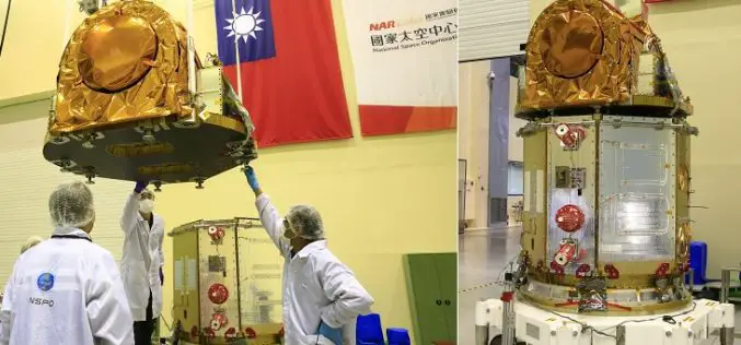
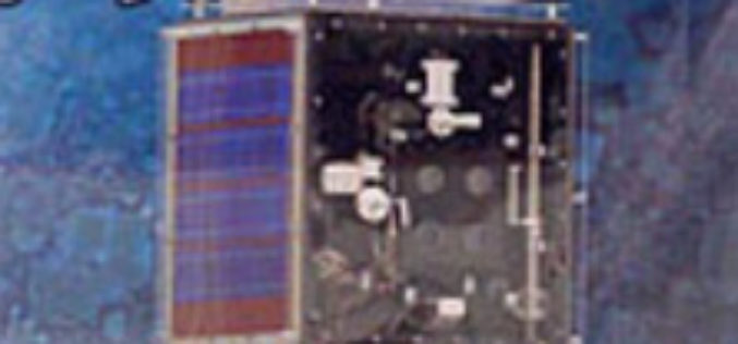
Taiwan to Use Japan’s Satellite Services Until FORMOSAT-5 is Launched
According to recent news by the Taipai Times, Taiwan would seek to use Japan’s satellite services until its newest satellite, the FORMOSAT-5, can be launched later this year. Minister of

PCI Geomatics Webinar: Digital Elevation Models and Operational Mining Applications
Digital Elevation Models and Operational Mining Applications Case Study with NPA Satellite Mapping JUNE 29, 2016 | 10AM ET / 2PM GMT PCI Geomatics and CGG’s NPA Satellite Mapping team will
Earth Observation for Humanitarian Aid
Earth observation satellites fly at distances of up to several hundred kilometres from Earth and can provide detailed information that assists relief workers on the ground. Now, this technology will

Russia and Italy Agree to Create Remote Sensing Satellite Constellation
MOSCOW (Sputnik) – Russia’s space agency Roscosmos and the Italian Space Agency (ASI) will sign an agreement to create a joint satellite constellation for remote earth sensing later in the day, Roscosmos head

Gaofen-4 – China’s First High Orbit Remote Sensing Satellite Put Into Use
PTI- China’s first high orbit remote sensing satellite, Gaofen-4, said to be the world’s most sophisticated, became operational after six months in-orbit testing, it was announced today. Gaofen-4 is China’s
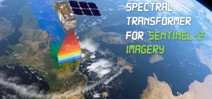
Spectral Transformer for Sentinel-2 Imagery Just Released
In a recent update, GeoSage has just released a software tool for the ESA’s 10m-resolution Sentinel-2 imagery. As many of you already know, the Sentinel-2 satellite is equipped with even more
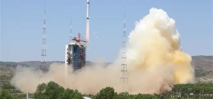
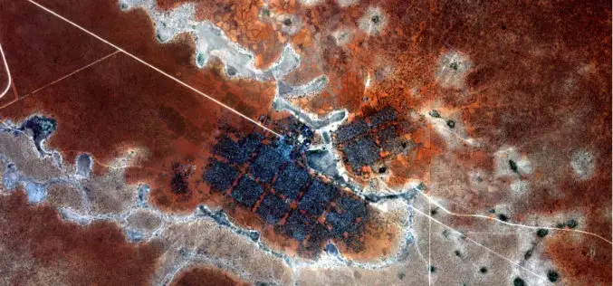
China Launches New High-resolution Satellite for Civilian Mapping
IANS – China on Monday launched a new civilian high-resolution mapping satellite from the Taiyuan Satellite Launch Centre in Shanxi province. The 2.7-tonne Ziyuan III 02 satellite soared on the back

