
Tag "RIEGL"

RIEGL VZ-i Line Scanners for Permanent Monitoring Applications and Integration Capabilities into Customers Risk Management
In the context of climate change and the expansion of areas of urban settlement, e.g., in Alpine regions, the demand for high-quality datasets as well as the integration into risk

RIEGL Presents New Products at INTERGEO 2021
INTERGEO is back LIVE in Hanover this year – and RIEGL presents the latest developments in hardware and software at booth 20C.22 in hall 20 but also digital at the
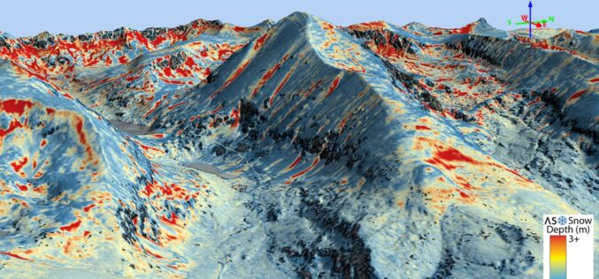
Airborne Snow Observatories, Inc. Takes Delivery of the All-New Cutting-Edge RIEGL VQ-1560 II-S LiDAR System
Airborne Snow Observatories, Inc. has just taken delivery of one of the first in North America cutting-edge RIEGL VQ-1560 II-S airborne laser scanners, just as the ASO program at NASA
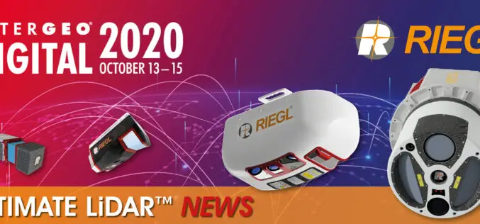
INTERGEO 2020 DIGITAL, October 13-15, 2020: RIEGL Presents Their New Products 2020
2020 is a very special year – COVID-19 has taught us to think in new dimensions and to work in new spheres. Nevertheless, RIEGL does not want to break with
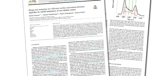
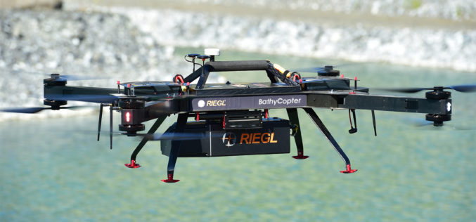
Joint Scientific Article on LiDAR for Bathymetry of Very Shallow Waters, under the Leadership of RIEGL, wins ISPRS Best Paper of 2019!
Every year the ISPRS (International Society of Photogrammetry and Remote Sensing) chooses the Best Paper of the Year from the wide range of publications in the ISPRS Journal of Photogrammetry and Remote Sensing.
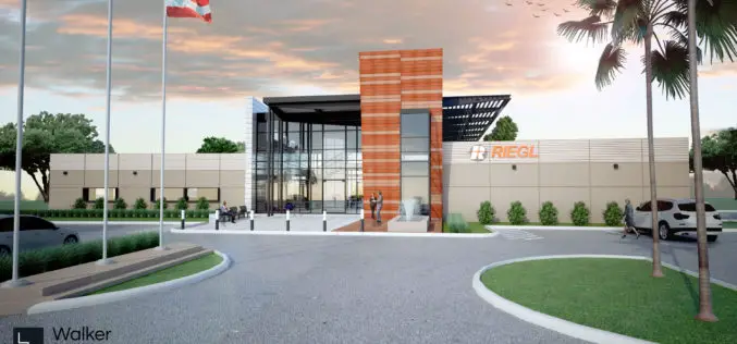
RIEGL Continues on Course for Success: RIEGL Invests in New Office and Production Facilities!
New, additional facility expansions at the headquarters in Austria as well as a new facility in the United States. RIEGL, an internationally successful manufacturer of LiDAR scanners for surveying applications
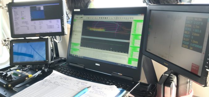
NAKANIHON and RIEGL to Give Joint Presentation on Helicopter-based Airborne Bathymetric LiDAR Systems
19th JABLTCX workshop, June 26-28, 2018 Providence, Rhode Island, USA: NAKANIHON and RIEGL to Give Joint Presentation on Helicopter-based Airborne Bathymetric LiDAR Systems Horn, June 7, 2018 – After successfully integrating and mobilizing a
RIEGL with Broad and Impressive Product Range, New Products at Intergeo 2016
RIEGL uses the INTERGEO platform traditionally to give an insight and an overview on its comprehensive LiDAR sensors and systems product range. At booth C3.059 in hall A3, on the
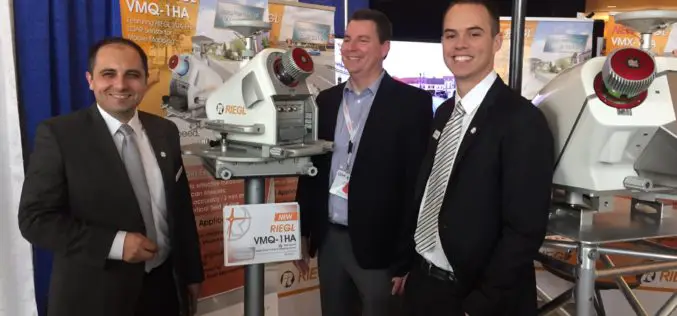
NEW RIEGL High-Speed Mobile Mapping Turnkey Systems Launched at ILMF 2016!
Introducing the latest advancements in RIEGL LiDAR Technology for mobile applications: NEW RIEGL High-Speed Mobile Mapping Turnkey Systems Launched at ILMF 2016! On February 22 at ILMF 2016 in Denver, RIEGL launched
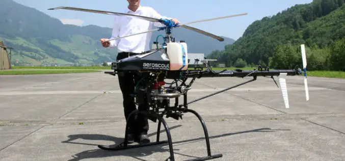
RIEGL and Aeroscout Announce Strategic Partnership!
RIEGL Laser Measurement Systems (Austria) and Aeroscout (Switzerland) are excited to announce a strategic partnership between companies RIEGL and Aeroscout have worked closely for many years. As a pioneer in
