
Tag "remote sensing"
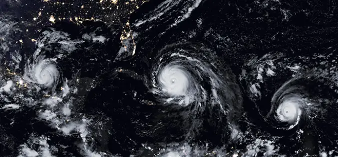
NASA ARSET Training: Monitoring Tropical Storms for Emergency Preparedness
Monitoring Tropical Storms for Emergency Preparedness Thursday, May 3, 2018 to Thursday, May 10, 2018 09:00 – 11:00 and 18:00 – 20:00 EDT (UTC-4) Tropical storms have major impacts, including loss of
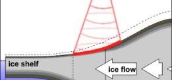
Remote Sensing to Detect Horizontal Motion of Glacier Grounding Lines
In a recent research by the UK Centre for Polar Observation and Modelling (CPOM) at the University of Leeds has produced the first complete map of how the ice sheet’s
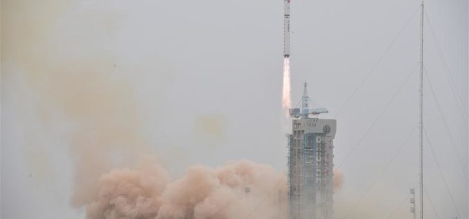
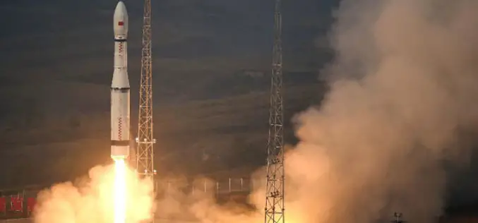
China Launched the Fourth in a Series Land Survey Satellite
According to recent news by Spaceflight Now, China has returned to action on March 17, 2018, with a Long March 2D rocket blasting off from Jiuquan, marking the country’s eighth space launch
NASA ARSET Training: Introduction to Using the VIC Hydrologic Model with NASA Earth Observations
Introduction to Using the VIC Hydrologic Model with NASA Earth Observations Dates: Thursday, February 15, 2018 to Thursday, March 1, 2018 Times: 9:00 – 10:00 a.m. and 6:00 – 7:00 p.m. EST (UTC

EarthSense Appoints Thomas Hall as Managing Director
February 1, 2018 – EarthSense Systems, the air quality monitoring, measuring and modelling specialist, has appointed Thomas Hall as Managing Director. A remote sensing specialist with over 19 years’ experience

China Plans to Launch 60 High-resolution Video Satellites by 2020
China plans to launch 60 high-resolution Jilin-1 video satellites by 2020, the satellite developer said. The high-resolution optical remote sensing satellites were independently developed by Chang Guang Satellite Technology Co. Ltd.
ARSET Advanced Webinar: Land Cover Classification with Satellite Imagery
Advanced Webinar: Accuracy Assessment of a Land Cover Classification Dates: Tuesday, February 13, 2018 to Tuesday, February 20, 2018 Times: 11:00-13:00 and 23:00-01:00 EST (UTC-5) In last year’s ARSET Advanced Webinar: Land Cover Classification
China Launches 2 Remote Sensing Satellites
JIUQUAN, 19 January (BelTA – Xinhua) – China launched two high-resolution optical remote sensing satellites into a preset orbit from the Jiuquan Satellite Launch Center in northwest China. The two
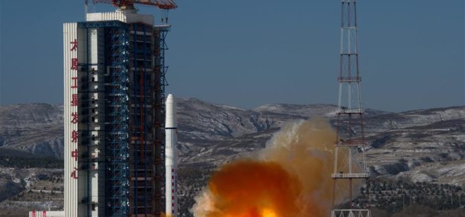
China Launches Two SuperView-1 Remote Sensing Satellites
According to recent news reported by the Xinhua, China launches SuperView-1 03/04, a pair of 0.5-meter high-resolution remote sensing satellites, from the Taiyuan Satellite Launch Center in north China’s Shanxi Province, Jan.

Satellite Data for Spatial Mapping of Marine Fisheries
Kochi, India – According to recent news reported by The Hindu, The Central Marine Fisheries Research Institute (CMFRI) will make use of remote sensing satellite data for the spatial mapping of
