
Tag "remote sensing"
DigitalGlobe Receives Early Commitments for WorldView-4 Satellite Capacity
Agreements demonstrate demand for high resolution, high accuracy 30 cm imagery from international defense & intelligence customers WESTMINSTER, Colo.–(BUSINESS WIRE)–Jan. 27, 2016– DigitalGlobe, Inc. (NYSE: DGI), a leading global provider
Hyperspectral Narrowband and Multispectral Broadband Indices for Remote Sensing of Crop Evapotranspiration and its Components
Hyperspectral narrowband and multispectral broadband indices for remote sensing of crop evapotranspiration and its components (transpiration and soil evaporation) By: Michael T. Marshall, Prasad S. Thenkabail, Trent Biggs, and Kirk Post
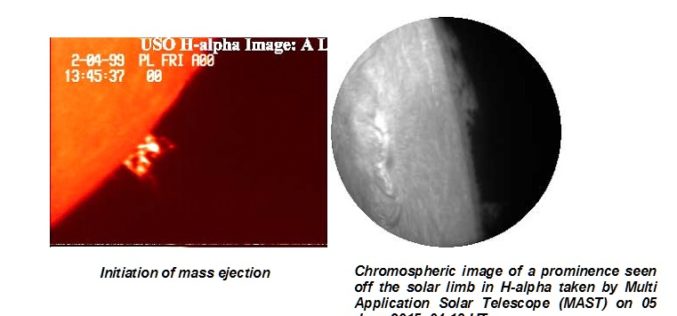
Aditya – L1 First Indian mission to study the Sun
The Aditya-L1 mission was conceived as a 400kg class satellite carrying one payload, the Visible Emission Line Coronagraph (VELC) and was planned to launch in a 800 km low earth
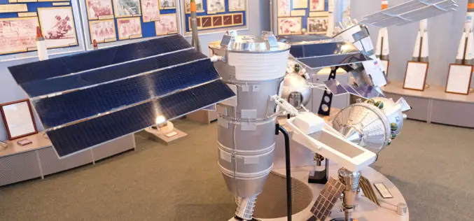
Russian Space Systems to Launch Resurs-P No. 3 Remote Sensing Satellite
MOSCOW- According to recent news by the Sputnik, Russian Space Systems company said that launch of Russia’s Resurs-P No. 3 remote sensing satellite has been scheduled for March 12. The Resurs-P

Tweets Can Help Speed Up Disaster Management
New York – Leveraging publicly available tweets or other social media posts could help disaster response agencies quickly identify impacted areas in need of assistance, says a new study. By

Saudi Arabia to Launch Remote Sensing Satellite from China
Riyadh — King Abdulaziz City for Science and Technology (KACST) is working to complete preparation of the components of the Saudi satellite (Saudi SAT 5B) which is locally made, in

Cabinet Apprised of ISRO-KISR MoU for Joint Space Exploration
New Delhi, Jan 20, 2016 – The Union Cabinet was today apprised of an agreement between ISRO and a Kuwaiti research body on cooperation in exploration of outer space and
Global Hyperspectral Remote Sensing Market 2015 Industry Trends, Analysis and Forecast to 2019
Global Hyperspectral Remote Sensing Industry 2015 and analysis by 2019 analyzed the world’s main region market size, share,trends,conditions, including the product price, profit, capacity, production, capacity utilization, supply, demand and
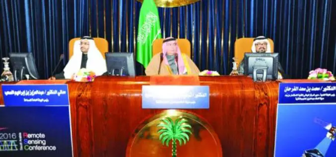
Saudi Arabia to Use ‘LIDAR’ for Satellite Imagery
Inaugurating the first International Remote Sensing Conference in Saudi Arabia at the King Faisal Hall on Sunday, the Prince Turki bin Saud bin Mohammed Al-Saud, Saudi Arabia said the King

Webinar on SAR Interferometry using SARScape tool for ArcGIS
Esri India Webinar on SAR Interferometry using SARScape tool for ArcGIS The use of Synthetic Aperture Radar (SAR) data has become increasingly popular in recent years, offering professionals in a

