
Tag "remote sensing"

ISRO, Indian Railways to Sign MoU Over Remote Sensing and GIS
NEW DELHI: Aiming at effective use of space technology in remote sensing and graphic information system (GIS) based applications, Railways is set to join hands with Indian Space Research Organisation

Iran and APSCO Jointly to Build a Remote Sensing Satellite
According to recent news by the Trend New Agency, Iran and seven member states of the Asia-Pacific Space Cooperation Organization (APSCO) are negotiating to jointly design and build a remote sensing

First Views of Earth From Sentinel-3
ESA– The first image from Sentinel-3A captures the transition from day to night over Svalbard, Norway, with detailed Arctic sea ice and some cloud features. Just after two weeks after
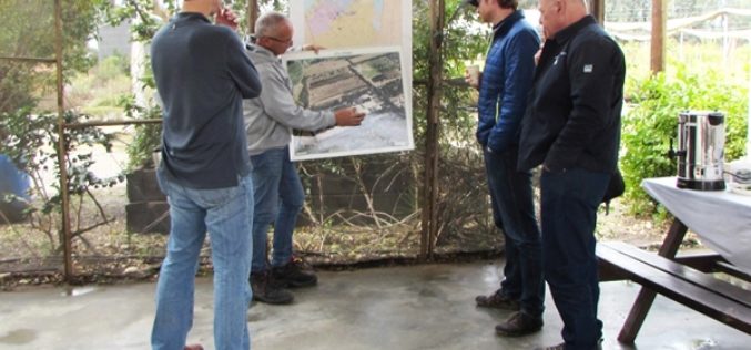
US Forestry Service Shares Remote Sensing Technology with Isreal
Recently USFS representatives visited Israel to share remote sensing technology with their Keren Kayemeth LeIsrael Jewish National Fund (KKL-JNF) counterparts. “Remote sensing technology opens up doors for us in fields
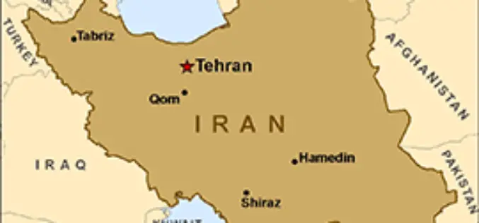
Iran Ready to Launch New Satellite
Iran has got its latest locally developed satellite, named Doosti (Friendship), ready to be launched into orbit, a senior Iranian official said. Iranian ICT Minister Mahmoud Vaezi has said that
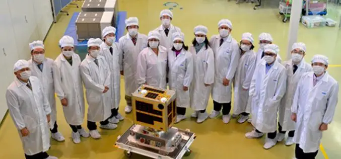
Philippines To Launch Its First Microsatellite
DIWATA-1, which was built by Filipino engineers working in collaboration with Japanese universities, is slated for launch in early 2016. The 50 kg DIWATA-1 microsatellite, named after the Filipino word

World Campus Remote Sensing Certificate Helps GIS Professionals Use Drone Data
UNIVERSITY PARK, Pa. — Drones are suddenly everywhere — gathering crop data, monitoring air pollution, helping with search-and-rescue missions and even taking “drone selfies.” But the increase of data collection

2016 ESA Earth Observation Summer School
European Space Agency (ESA) organises a series of summer schools on Monitoring of the Earth System to promote the exploitation of EO data across disciplines, with a specific focus on
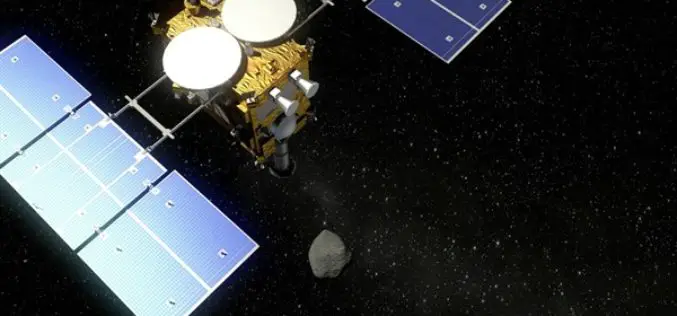
DLR and JAXA Strengthen Cooperation
On 25 February 2016, the German Aerospace Center (Deutsches Zentrum für Luft- und Raumfahrt; DLR) and the Japan Aerospace Exploration Agency (JAXA) signed an ‘Inter Agency Arrangement for Strategic Partnership’

Remote Sensing Technology to Boost Pisciculture
Chhattisgarh, India – The government of Chhattisgarh will undertake a survey using remote sensing technology for mapping the location of ponds, rivers and other water bodies to encourage fish farming in

