
Tag "Rainfall data"
GIS
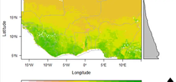
Space Technology Identifies Vulnerable Regions in West Africa
University of Leicester researchers in collaboration with NASA use satellites to map land degradation in Sub-Saharan West Africa A group of international researchers led by the Centre for Landscape and
GIS Data
Free GIS Data – Weather and Climate Data
Free GIS Data – Weather and Climate Data Weather and Climate Data WorldClim: Climate data for past, present and predicted future conditions. Includes temperature (min, max, mean) and
