
Tag "RADAR"
E-books
Land Applications of Radar Remote Sensing
The aim of this book is to demonstrate the use of SAR data in three application domains, i.e. land cover (Part II), topography (Part III), and land motion (Part IV).
Remote Sensing
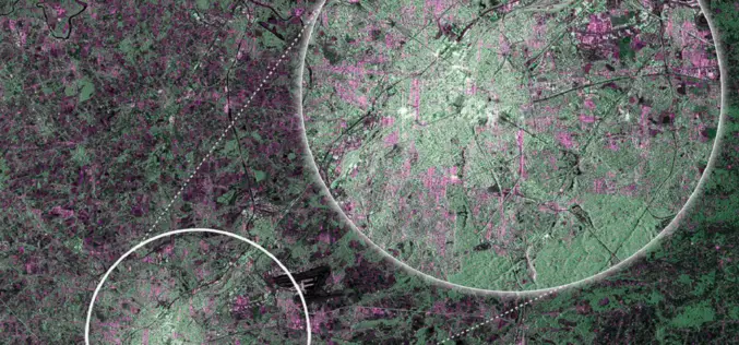
First RADAR Images of Earth by Sentinel-1A Satellite
ESA’s Sentinel-1A, kicked off on April 3, 2014, has delivered its first RADAR images of earth. ESA’s Sentinel-1A satellite will provide the ability of policymakers and service providers to access
