
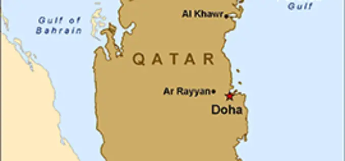
Tag "Qatar"

GIS
Qatar to Develop 4D Mapping Technology to Boost Urban Planning and Other Applications
According to recent news by The Peninsula, the Center for Geographic Information Systems(CGIS) under the Ministry of Municipality and Environment is working on a cutting-edge technology to develop 4D mapping features

Conferences
Geo Events
“UNMANNED WORLD”, the first and most complete Exhibition of Unmanned Vehicles in Middle East will take place at Qatar in April 2017
Unmanned World will gather Robotics and Unmanned ground and surface vehicles (UGV & USV), Remotely Operated Vehicles (ROV) and Unmanned Aerial Vehicles UAV, which are one of the largest investment opportunities worldwide. Unmanned
GIS
Qatar is Using GIS to Map and Analyse Fishing Reserves
In recent news, Qatar is developing a geographical information system (GIS) to map and analyse its marine resources, mainly fishing reserves. The fisheries department is busy assessing the country’s fish reserves
