
Tag "Python"

Advanced Webinar: Data Analysis Tools for High Resolution Air Quality Satellite Datasets
Advanced Webinar: Data Analysis Tools for High Resolution Air Quality Satellite Datasets January 17, 2018 to Monday, January 22, 2018 High-resolution air quality data is helpful for monitoring urban air

Customize your GIS platform easily with Python!
As a professional GIS work platform, SuperGIS Desktop has a variety of functions for map data management, data editing and data analyzing. SuperGIS Desktop also supports diverse databases and services
GRASS GIS 7.0.3RC1 Released
The new GRASS GIS 7.0.3RC1 release provides 160 stability fixes and manual improvements. Of particular interest is the new winGRASS 64 bit support. About GRASS GIS 7: Its graphical user interface supports

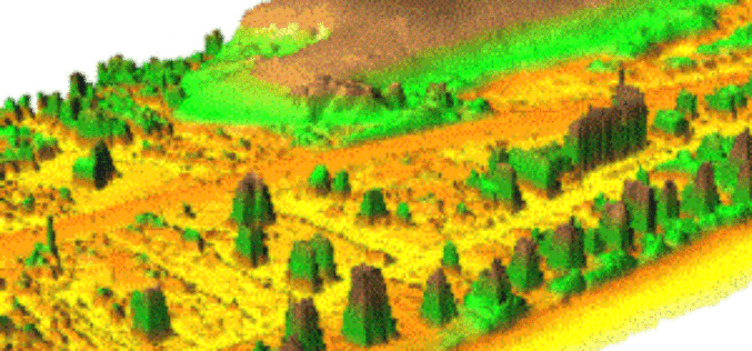
Webinar: New Features in Geomatica 2015
New Features in Geomatica 2015 Thursday, May 14 at 8am GMT and 2pm EDT Geomatica is a powerful geospatial image processing software suite used by professionals, researchers and students around
New Stable Version of GRASS GIS 7.0.0 is Released
After many years of development the new stable major release GRASS GIS 7.0.0 is available. The graphical user interface based on wxPython has been enriched with many new features in

Esri Training Seminar: Streamline GIS Workflows with ArcGIS Pro
Streamline GIS Workflows with ArcGIS Pro Thursday, January 29, 2015 Seminar Overview: ArcGIS Pro is a new desktop application included with ArcGIS 10.3 that is designed to help GIS professionals

Esri Advances Scientific Analysis with SciPy
ArcGIS Programming Library Adds Power to Problem-Solving Redlands, California—Esri announces the integration of SciPy and ArcGIS. Scientists, engineers, and GIS professionals will use SciPy to get more value from ArcGIS
Webinar: Python Capability in Geomatica 2014
On-demand Webinar – Python Capability in Geomatica 2014 Learn how to script your Geomatica image processing and combine it with other tasks in Python to streamline your data management

GRASS GIS 7.0.0 beta 1 is Released
What’s new in GRASS GIS 7.0.0 beta in a nutshell: The graphical user interface based on wxPython (introduced in GRASS GIS 6.4) has been enriched with many new features in
