
Tag "Pix4Dmapper"

Business
Pix4D Among UAV Industry Leaders Intel® Uses to Launch Intel Insights Platform
September 7, 2017 – Yesterday at InterDrone, Intel CEO Brian Krzanich announced the new Intel Insight Platform that will allow select enterprise customers to accelerate the path from drone flight to
GIS
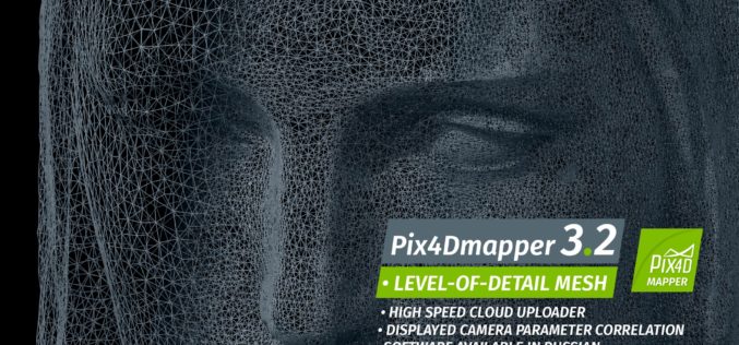
Pix4Dmapper 3.2 Now Generates Tiled Level-of-Detail (LoD) Mesh
May 2, 2017 – Today, we are happy to announce our Pix4Dmapper Desktop 3.2 release. The new version has great advancement in stability and usability – Upload desktop projects to cloud
Featured Article
Photogrammetry
Evolving Photogrammetry from Single-Pair Stereo to Multi-View rayCloud
Pix4Dmapper Pro’s rayCloud is a full-3D interface which allows visualization and analysis based on multi-ray intersections from 2D images. This provides a more accurate and consistent solution than extracting 3D
