
Tag "Pix4D"
Pix4D Announces a New User Certification Program
Drone technology is rapidly evolving and our technology is changing daily. Being a Pix4D certified user will allow users to benchmark their skills and technical knowledge of drone mapping photogrammetry.

Pix4D Among UAV Industry Leaders Intel® Uses to Launch Intel Insights Platform
September 7, 2017 – Yesterday at InterDrone, Intel CEO Brian Krzanich announced the new Intel Insight Platform that will allow select enterprise customers to accelerate the path from drone flight to
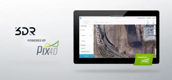
3DR Site Scan Processing Now Powered by Pix4D
Site Scan customers can now create more accurate, detailed data products than ever before 3DR, makers of Site Scan, one of the leading drone data platform for engineering and construction,

MicaSense Atlas is Now Integrated with Pix4D Desktop Software
This partnership is designed to offer MicaSense customers the power of desktop processing, as well as the flexibility of MicaSense Atlas. “Our customers value Atlas as an analytics and collaboration

Pix4D Expands R&D in Berlin
Drone-mapping software developer Pix4D announces the opening of a research and development office in Berlin, Germany. Pix4D products rely on advanced principles of photogrammetry, computer vision, and machine learning. “By
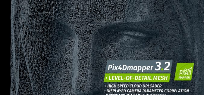
Pix4Dmapper 3.2 Now Generates Tiled Level-of-Detail (LoD) Mesh
May 2, 2017 – Today, we are happy to announce our Pix4Dmapper Desktop 3.2 release. The new version has great advancement in stability and usability – Upload desktop projects to cloud
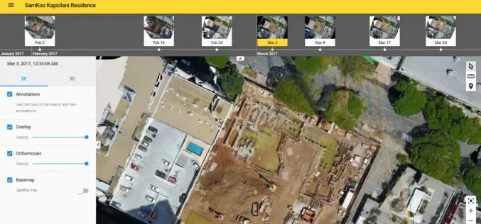
More efficient construction management with Pix4Dbim
More efficient construction management with Pix4Dbim The importance of easy data visualization for Jobsite documentation Project info Project Description A volcanic archipelago in the Central Pacific of only 11,000 square miles, Hawaii
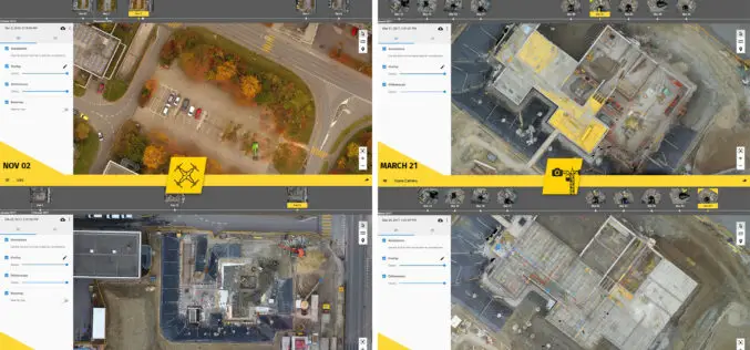
6 Major Construction Companies Adopt New Bim Monitoring Solution
Construction professionals understand that daily visualization of a job site helps minimize construction delays, prevent clashes between as-built and as design, eliminate the need for rework, facilitate stakeholder communication and
Comparable Maps, Anytime, Thanks to Pix4D and Sequoia Sunshine Sensor
Consistent Index Maps When you are a service provider with high client expectations, you need to be able to obtain quality results on a regular basis. When it comes to
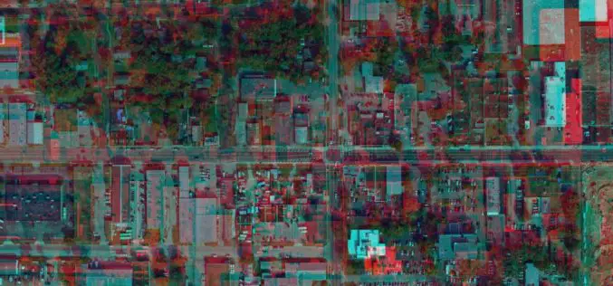
Evolving Photogrammetry from Single-Pair Stereo to Multi-View rayCloud
Pix4Dmapper Pro’s rayCloud is a full-3D interface which allows visualization and analysis based on multi-ray intersections from 2D images. This provides a more accurate and consistent solution than extracting 3D
