
Tag "OpenStreetMap"
TatukGIS Hosted OpenStreetMap Tile Server
TatukGIS hosted OSM (world map) web tile servers are available as a free service for use with TatukGIS software, including custom GIS applications developed by customers using the TatukGIS Developer
Boundless to Host Complimentary Webinar on Boundless Offline Tile Server
GIS Industry Experts to Host Roundtable Webinar on Portable, High-Performance Map Tile Server Designed to Allow Users to Visualize Detailed Basemaps in a Completely Disconnected Environment St. Louis, MO – July
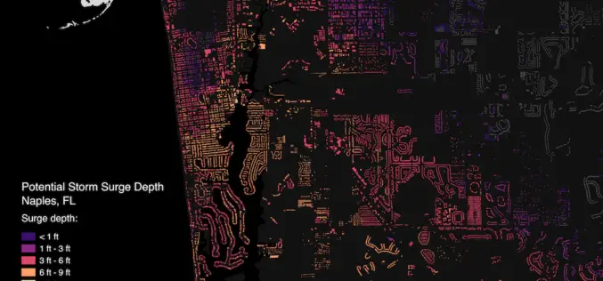
Brainnwave Makes Data Available to Support Disaster Relief
September 12, 2017 – Brainnwave believe that people make better decisions if they have quick and simple access to the data they need, at the time they need it. With

Mapbox Added 3D features in Mapbox GL JS
Mapbox added 3D features to Mapbox GL JS to take your maps to new heights! With the new extrusion properties, we can render 3D buildings/3D visualizations, visualize elevation profiles, build
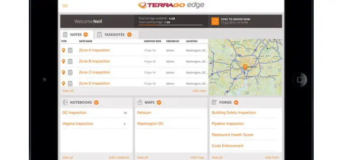
TerraGo Edge Version 3.9.5 Adds New Tools for Advanced Mapping and Field Data Collection
New Enhancements Improve Quality of Data & Efficiency of Field Work Available today, TerraGo Edge version 3.9.5 provides new tools to improve field data collection and further enhance mobile GPS
Online Map Tool Helps You to Design a Better Map
Many cartographers are often anxious about creating a map that is not attractive enough. In the latest updated version of SuperGIS Desktop 3.3 and 10, Supergeo will support users to

Enhanced Imagery, Modelling, Volumes Improve Productivity With LISTECH Neo
LISTECH, a Hexagon Geosystems brand, today announced increased functionality to its new geospatial software Neo, with terrain modelling, volume calculation and imagery offerings. With an integrated 3D/2D environment for viewing

OGC Announces Simplified Web Mapping Standard
The OGC announces that the OGC membership has adopted the OGC® WMTS Simple Profile, which defines a simplified profile of the OGC Web Map Tile Service (WMTS) Interface Standard (see
Call for State of the Map US 2016!
The call for locations for State of the Map US 2016 (when did it get to be 2016??!!) is open. Get your city ready to bring the OSM US community

Ready to Code?
Listen up, coders! There will be a new series of lessons showing you how to use our SuperGIS Server JavaScript API. Since the first release of SuperGIS Server 3.2, we
