
Tag "OGC"
OGC Requests Comments on Proposed Quality of Service and Experience DWG
The Open Geospatial Consortium (OGC®) requests comments on the charter for a proposed Quality of Service and Experience (QoSE) Domain Working Group (DWG). Spatial data now plays a critical role
OGC Requests Participation in its Land Administration DWG
The Open Geospatial Consortium (OGC®) is calling for public participation in its newly-established Land Administration Domain Working Group (Land Admin DWG). Worldwide, effective and efficient land administration is an ongoing

OGC is Considering a Proposed Work Item for 3D Tiles as a Community Standard
The Open Geospatial Consortium (OGC®) is considering start of a new work item for a Community Standard: 3D Tiles. The public is requested to comment on this work item proposal.

Location Powers Workshop to Advance Geospatial applications of Big Data
The Open Geospatial Consortium (OGC®) has announced its Location Powers: Big Data workshop, occurring on Tuesday 20th September in Orlando, Florida. The Location Powers: Big Data workshop will bring together
Open Geospatial Consortium Requests Participation in its Marine DWG
The Open Geospatial Consortium (OGC®) is calling for public participation in its newly-established Marine Domain Working Group (Marine DWG). The Marine DWG was established to address applicability of the OGC

OGC Requests Comment on Charter for Coordinate Reference System Standards Working Group
Members of the Open Geospatial Consortium (OGC®) request comments on the draft charter for an OGC Coordinate Reference System (CRS) Standards Working Group (SWG). The purpose of the OGC SWG
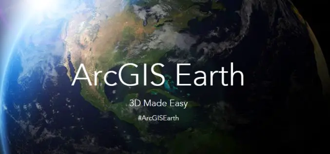
What’s New in ArcGIS Earth 1.1
ArcGIS Earth, a free, desktop-based interactive globe that anyone can use to explore the world and work with a variety of 3D and 2D map data formats including KML. ArcGIS

OGC Publishes Testbed 11 Geospatial Information Management Engineering Reports
The OGC Members recently approved release of all the public OGC Engineering Reports that resulted from the 2015 OGC Interoperability Testbed 11. Testbed 11 is the most recently completed of
Ordnance Survey committed to European Smart City standards
Ordnance Survey is to create a Smart City standards-based technologies business framework for the European Union’s ESPRESSO project. ESPRESSO is being led by the Open Geospatial Consortium, and OS, working closely

TerraGo Edge Version 3.9.2 Takes Your Mobile Forms into Warp Drive
Accelerates Inspections, Surveys, Work Orders, Audits, Invoices and More TerraGo Edge helps companies create custom forms for inspections, surveys, work orders, audits and all types of mobile data collection, and
