
Tag "NOAA"
MDA to provide US National Oceanic and Atmospheric Administration (NOAA) with RADARSAT-2 Information for Ice Monitoring
Vancouver, BC – MacDonald, Dettwiler and Associates Ltd. (“MDA” or the “Company”) (TSX: MDA), a global communications and information company, today announced that it has signed a contract with the

NOAA Releases First GOES-16 Image from Harris Corporation-Built Imager and Ground System
Imager and ground system increase resolution and speed Ground system will process more data than all current GOES satellites combined Advancements will improve weather forecasting for U.S. government MELBOURNE, Fla.
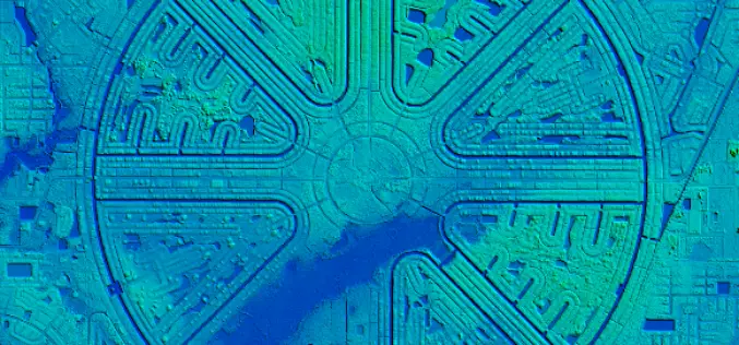
NOAA Offers LiDAR Coastal Mapping Training
The National Oceanic and Atmospheric Administration (NOAA) has launched a self-paced, 80-minute online training introducing several fundamental concepts of LiDAR to help you get more out of your LiDAR point cloud data. The

Esri Becomes Ambassador of NOAA and NWS Weather-Ready Nation
GIS Role in NOAA Weather Data Portal Key to Designation Redlands, California—Esri, the world leader in geographic information system (GIS) technology, today (September 27, 2016) announced its participation in the
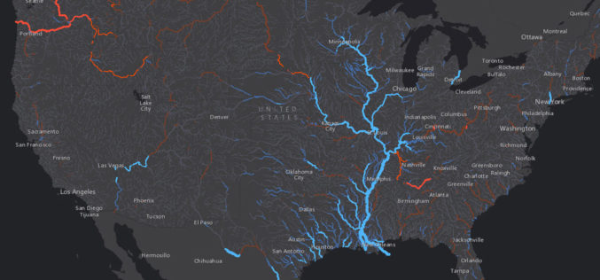
Esri Maps NOAA’s National Water Model
New Real-Time Maps Transform Forecast Data into Vivid Pictures of US River Flows August 25, 2016 – Redlands, California—Smart mapping leader Esri today released a robust collection of web maps
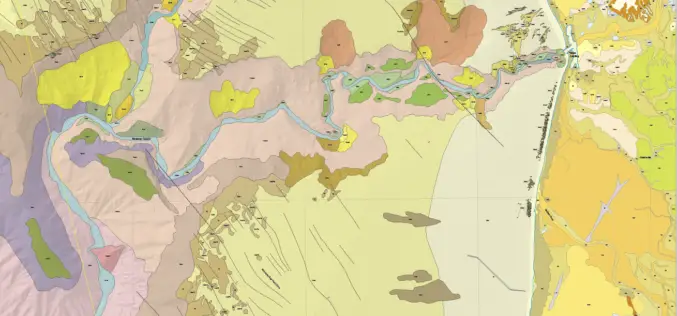
New Maps Illuminate Monterey Bay Area Seafloor
Six new sets of maps reveal the diverse and complex range of seafloor habitats along 130 kilometers (80 miles) of the central California coast from the Monterey Peninsula north to Pigeon
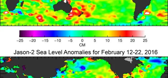
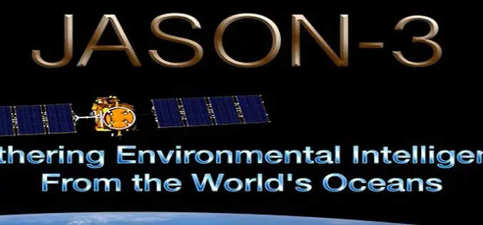
Jason-3 Begins Mapping Oceans
Just over a month after launch, Jason-3, a U.S.-European oceanography satellite mission with NASA participation, has produced its first complete science map of global sea surface height, capturing the current
Jason-3 Successfully Launched
Vandenberg Air Force Base, California, 17 January 2016 – The Jason-3 high-precision ocean altimetry satellite was successfully launched from Vandenberg Air Force Base in California at 19:42 CET (10:42 California

ViviSat Remote Sensing License Approved
BELTSVILLE, Md.–(BUSINESS WIRE)–ViviSat LLC announced today that the Commercial Remote Sensing Regulatory Affairs Office of the National Oceanic and Atmospheric Administration, an agency of the Department of Commerce, has granted

UAV to Study Killer Whales Health and Behavior
Unmanned aerial vehicle allows scientists to study killer whale health and reproduction while also offering a glimpse into the family life of these social animals John Durban is a marine
