
Tag "MOOC Program"
Courses
Remote Sensing
Register Now For Esri MOOC Program: Earth Imagery at Work
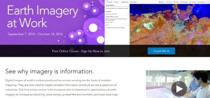
Earth Imagery at Work February 1, 2017 – March 14, 2017 Digital images of earth’s surface produced by remote sensing are the basis of modern mapping. They are also used to
