
Tag "mapping"

New National Geospatial Program Director Announced
The U.S. Geological Survey is pleased to announce the selection of Michael Tischler to the position of the Director, National Geospatial Program (NGP), starting Monday, April 6th. Mike brings a
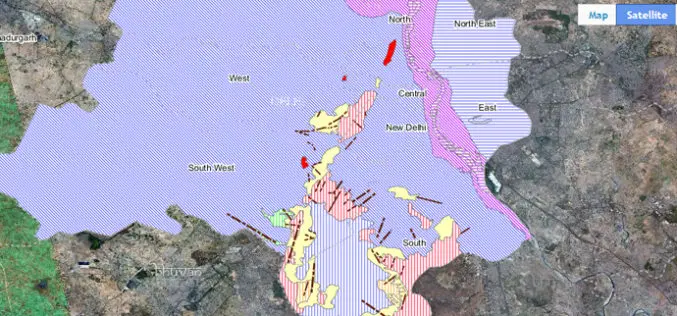
Bhuvan Bhujal Portal – Ground Water Prospects Information System
The National Remote Sensing and Application Centre (NRSC), India has recently launched a web application “Bhujal Portal”. Bhujal is sponsored project by Department of Drinking Water and Sanitation, Ministry of Drinking
Tribal Ministry to Use Satellite Mapping to Develop Water Bodies
The Ministry of Tribal Affairs (MoTA) is planning to use satellite mapping to identify potential water collection spots, which could be developed for fish culture and other purposes in order

Smartone C from Smartplanes Reviewed By the Geo-Matching Community
The Geo-matching.com website features a selection of the most important geomatics equipment, including UAS for Mapping and 3D Modelling. At www.geo-matching.com, you can compare product specifications and read users’ reviews
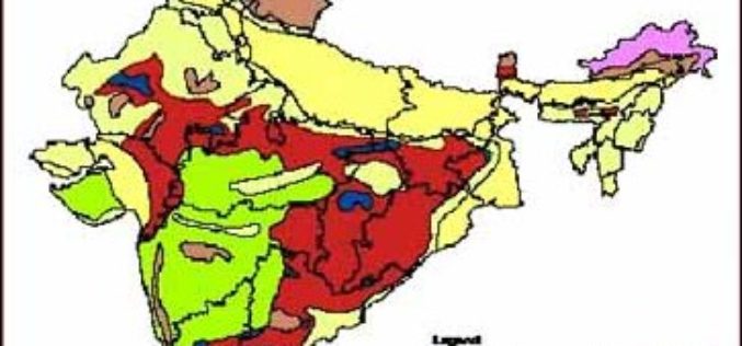
3D Mapping of Groundwater Resources of India
In recent news by Deccan Chronicle, National Geophysical Research Institute (NGRI) is planning to take up a massive a groundwater mapping programme across the entire landmass of India using advanced
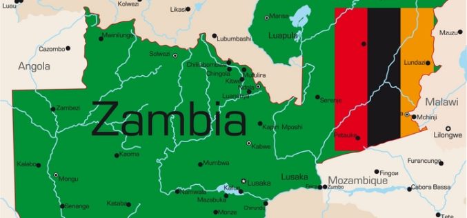
Poverty Mapping Tool for Better Resource Allocation
The Zambian government has launched a poverty mapping tool which reveals data about highly impoverished areas in the country. Poverty mapping tool will help the southern African nation to know the
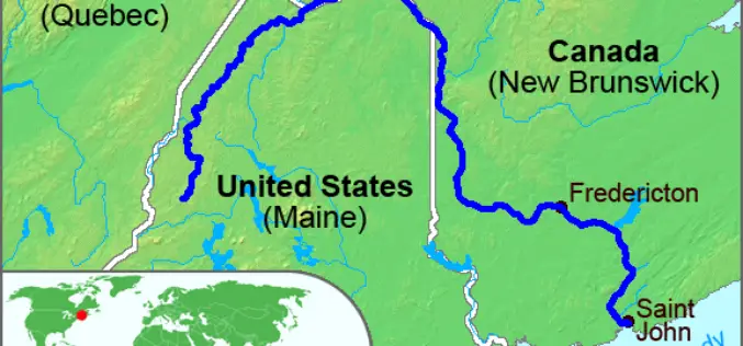
High-Precision Land-Cover-Land-Use GIS Mapping and Land Availability and Suitability Analysis for Grass Biomass Production in the Aroostook River Valley, Maine, USA
High-Precision Land-Cover-Land-Use GIS Mapping and Land Availability and Suitability Analysis for Grass Biomass Production in the Aroostook River Valley, Maine, USA – Chunzeng Wang , Jason Johnston, David Vail, Jared Dickinson and
PAOneStop Online Tool for Farmers to Map Farm
The Penn State Cooperative Extension Land Analysis Lab has developed PAOneStop, an online tool for farmers. PAOneStop provides online tools to help farmers meet regulatory requirements for Conservation and Nutrient Management
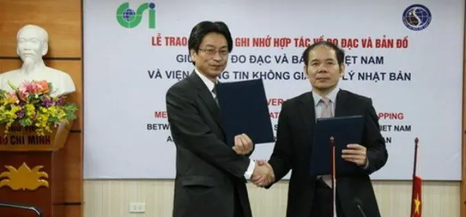
Vietnam and Japan Signed MoU to Cooperate in Geospatial Sector
The Vietnam Department of Survey and Mapping (VDSM) and the Geospatial Information Authority of Japan (GSI) exchanged a Memorandum of Understanding (MoU) on March 11 in Hanoi to commit to
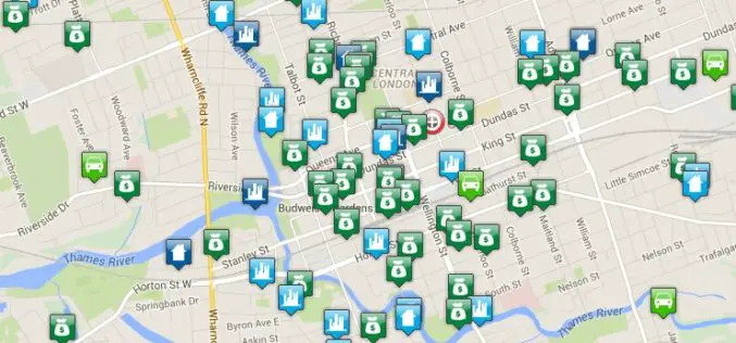
Crime Mapping Tool for Better Crime Monitoring
Bair Analytics Inc. will be providing online crime mapping service to the London Police Service and public. Each occurrence is represented by an icon that, when selected, will reveal information about each
