
Tag "mapping app"
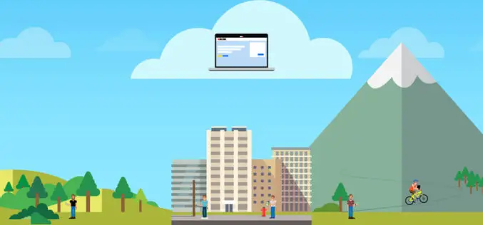
OnPOZ Collect and Cloud Mappings Apps for Geospatial Data Collection
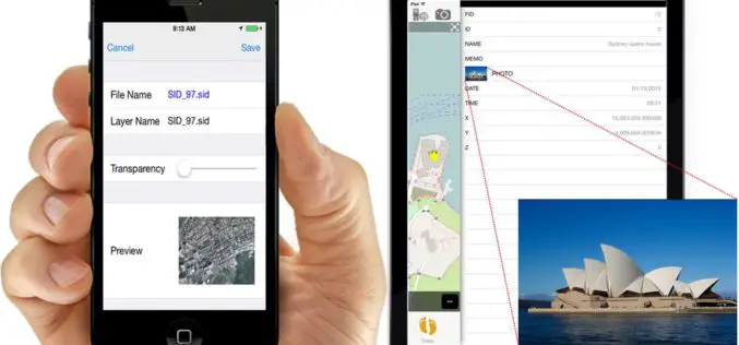
OnPOZ Collect is a powerful GIS mapping app that transforms a phone or tablet into a geospatial data collection tool.
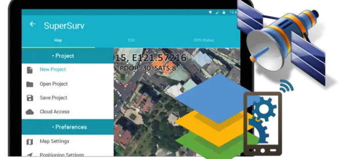
Behold! SuperSurv 10 Come for Unleashing the Power of Latest Technology in Mobile GIS
Can’t find the best fit mobile GIS solution for your field work? Wondering with all the hardcore and complicated operations in most survey Apps? Get ready to experience the brand
CBC Iberia, Spain Adopts SuperSurv for Android to Elevate Data Collection Efficiency
Supergeo Technologies, the leading provider of complete GIS software and solutions,announces that CBC Iberia S.A., Spain adopts SuperSurv for Android in enhancing outdoor data collection for biotechnologies and agriculture. CBC
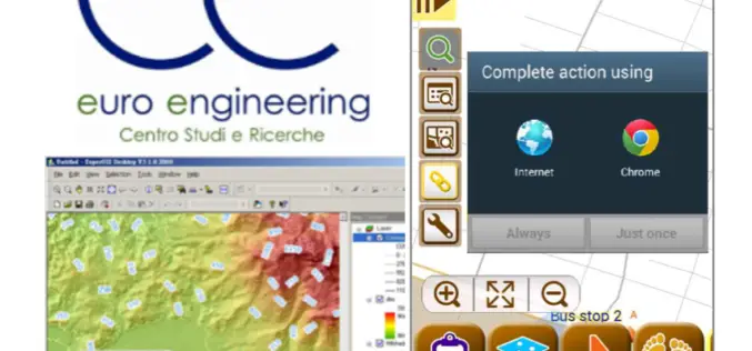
Euro Engineering, Italy Raises Research Value by Using SuperGIS
Supergeo, the leading GIS software and solution provider, announces that Centro Studi e Ricerche Euro Engineering – Soc. Coop. a r.l. (Euro Engineering) raises their research quality by using SuperGIS

Hong Kong Planning Department Selects SuperSurv (Android) for Future City Plan
Supergeo Technologies, the leading GIS software and solution provider, announces that the Planning Department in Hong Kong purchased the mobile GIS app, SuperSurv for Android, and is now evaluating the
Brandenburg Forest Office, Germany, Select SuperSurv for Forest Conservation
Supergeo Technologies, the leading GIS software and solution provider, announces that Brandenburg Forest Office (Landesbetrieb Forest Brandenburg), Germany has adopted the smart mobile GIS app—SuperSurv to investigate the forest conservation

SuperPad Reveals NTRIP Solution to Achieve Centimeter Level Accuracy
Supergeo, the leading GIS software and solution provider, is going to release NTRIP solution on its Windows Mobile GIS app, SuperPad, for high accurate field data collection and geospatial workflow

High Accuracy and Advanced Field Work with Latest SuperSurv
To meet the great needs of high accuracy field data collection and better workflow via modern GNSS technology, Supergeo, the leading GIS software and solution provider, announces the latest SuperSurv
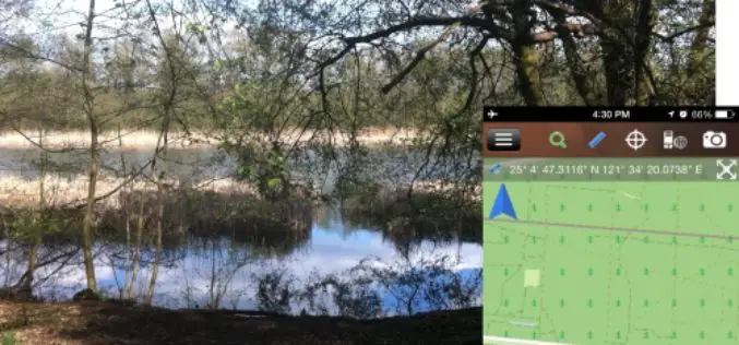
iOS Mapping Solution, SuperSurv, Enhances Raster Data Support
Supergeo releases the latest update of SuperSurv 3.2 (iOS) to enhance the functionality and efficiency for mobile GIS surveyors. Having stronger compatibility with raster dataset and convenient tools for data
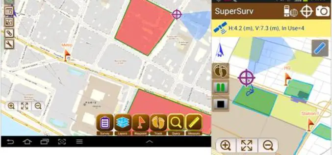
SuperSurv 3.2 Release Advanced GPS Support and Data Collection Functions
Developed by Supergeo, the latest version of SuperSurv (Android) 3.2 is upgraded with stronger data collecting function by GPS and more precise and easy-to-use GPS manipulation interface, bringing
