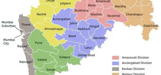
Tag "Maharashtra Geo-Spatial Digital Database System"
GIS
Maha Govt Plans to Map Whole State Using Satellite Images
According to recent news by ToI, the Maharashtra state government has planned to develop Maharashtra Geo-Spatial Digital Database System (MGDDS). City-based Maharashtra Remote Sensing Application Centre (MRSAC) has been appointed


