
Tag "LiDAR"

Merrick Releases Version 2018 MARS® Software Suite
May 31, 2018 – Merrick & Company, a global leader in light detection and ranging (LiDAR), digital orthophotography, hyperspectral imaging, and geographic information systems (GIS) data integration, is pleased to
Skyline Software Systems Releases Photomesh™ 7.4 With LiDAR Integration and Improved Aerial Triangulation Capability
Herndon, VA – May 21, 2018 – Skyline Software Systems Inc. announced today that it has released PhotoMesh™ v7.4 software suite as part of its SkylineGlobe products. This update integrates
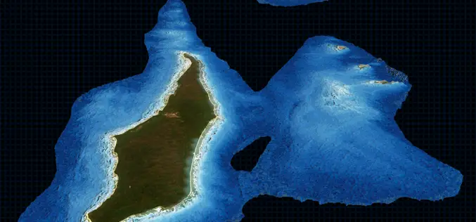
TCarta Delivers Satellite Derived Bathymetry Data to Total for Hydrocarbon Exploration Project
BRISTOL, United Kingdom, 16 May 2018 – TCarta, a global provider of marine geospatial products, has delivered satellite derived bathymetry (SDB) to Total SA, one of the world’s largest oil and gas producers.
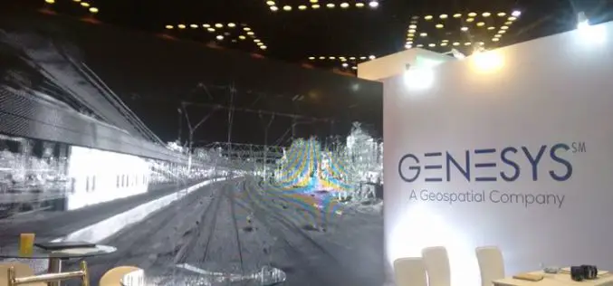
Genesys International Corporation Ltd Bags Prestigious TAPI Mapping Project Using LIDAR
Genesys International Corporation Ltd has been awarded the prestigious TAPI mapping project using LIDAR. won against international competition – this project win is an extension of the company’s expertise in
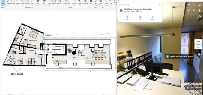
NavVis Launches Autodesk Revit Add-in
New add-in connects NavVis reality capture to BIM models in Autodesk Revit MUNICH, Germany, 25 April 2018 – NavVis, a global leader in mobile indoor mapping, visualization, and navigation, announces
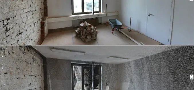
New Indoor Mobile Mapping System from NavVis Marks Breakthrough in Data Quality
NavVis M6 is a next-generation indoor mobile mapping system designed to overcome the scale and quality constraints of today’s reality capture technology April 18, 2018 – NavVis, a global leader in mobile
LizardTech to Launch GeoExpress 10 with Expanded LiDAR Functionality at GEOINT 2018
SEATTLE, Wash. — April 17, 2018 — LizardTech®, a provider of software solutions for managing and distributing geospatial data, will launch Version 10 of its GeoExpress data manipulation and compression software at the
Voxxlr 1.0 Has Been Released!
March 06, 2018 – Voxxlr is a cloud based service to store, analyze and share large 3D point clouds entirely online. After years of development, version 1.0 has now been released. A
New Zealand Major Funding Boost for LiDAR Survey
Gisborne – April 6, 2018 – Gisborne District Council will receive over $1 million in funding to fly LiDAR across the entire district, a project that will bring major economic and

Global Mapper and LiDAR Module SDK v19.1 Now Available with New 3D Mesh Generation Capabilities
Hallowell, Maine – March 20, 2018 – Blue Marble Geographics (bluemarblegeo.com) is pleased to announce the immediate availability of version 19.1 of the Global Mapper Software Development Kit (SDK) along with
