
Tag "LiDAR software"
Put Your LiDAR Data on the GIS Platform!
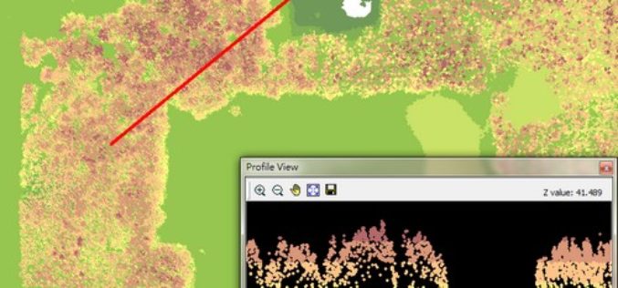
By rapidly collecting massive data from the surface, LiDAR technology has dramatically changed the geospatial industry. LiDAR data can record much information delicately such as the elevation, the spectrum, and
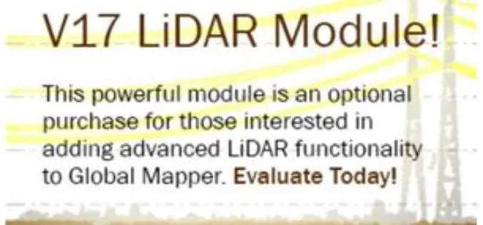
Updated Global Mapper LiDAR Module with Power Line Classification and Extraction
Blue Marble Geographics is pleased to announce the release of Global Mapper LiDAR module version 17.0. Released in conjunction with Version 17.0 of Global Mapper, the latest edition of the module includes

LizardTech Launches GeoExpress 9.5
LizardTech, a provider of software solutions for managing and distributing geospatial content, announced the launch of GeoExpress 9.5 at this week’s Esri International User Conference, California. GeoExpress enables geospatial professionals to

Trimble joins LASzip sponsors USACE, NOAA, and Quantum Spatial
July 13, 2015-Gilching, Germany – We are happy to announce that Trimble’s Geospatial Division has become a sponsor of the LASzip compressor. Their contribution as a Bronze sponsor will improve the existing
