
Tag "laser mapping"

3D Laser Mapping & GeoSLAM Global Merger Announcement
3D Laser Mapping Ltd and GeoSLAM Ltd Merge, Creating a Global Market Leader in Mapping and Monitoring Nottingham, England, 1st August 2018 – Leading UK laser scanning and monitoring companies’ 3D
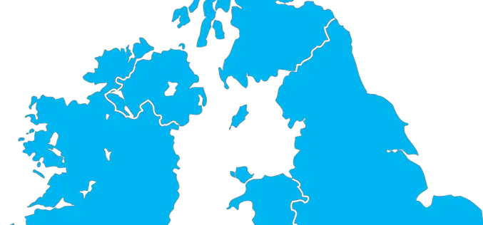
The Environment Agency to Map England’s Entire Landscape with 3D Laser Mapping
The Environment Agency has announced plans to map England’s entire landscape by 2020, using the data to assess flood risk and inform conservation work. December 30, 2017 – Environment Agency – The Environment Agency
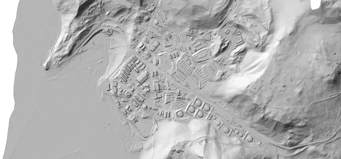
Portland State Laser Mapping Project Shows Global Warming Effects in Antarctica
(Portland, Ore.) Aug. 9, 2017 – Portland State University researchers and the National Science Foundation (NSF) have publically released high-resolution maps of the McMurdo Dry Valleys, a globally unique Antarctic

China Unveils Results of First National Geoinformation Survey
China boasts a total of 7.56 million square kilometers of vegetation cover, while buildings cover 153,000 square kilometers of land, the State Council Information Office unveiled at a news briefing

3D Laser Mapping Continue to Lead the Way With Mobile Mapping
It’s hard to believe that Mobile Mapping Systems (MMS) have been on the market for over a decade. 3D Laser Mapping was one of the first companies to create a
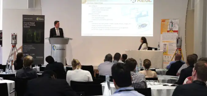
Everything You Always Wanted to Know on “Digital Information in 3D”!
November 4 and 5, 2015, RIEGL attended and presented at 3D Laser Mapping’s User Conference “Digital Information in 3D” at the Prince Philip House in London. At the event, the

Airborne LiDAR Reveals Maya Civilization Landscape
The Maya civilization was one of the most dominant indigenous societies of Mesoamerica (a term used to describe Mexico and Central America before the 16th century Spanish conquest). The earliest Maya settlements
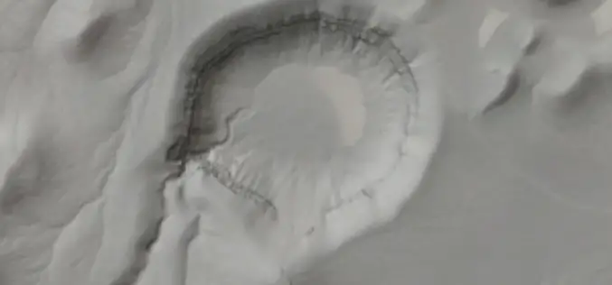
Airborne LiDAR Datasets Covering Two Volcanic Fields and a River Confluence
OpenTopography is pleased to announce the release of three new LiDAR datasets covering two volcanic fields in Northern Arizona and Nevada as well as a river confluence in Colorado. The
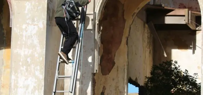
3D Laser Mapping Helps Preserve Earthquake Prone Buildings in New Zealand
New Zealand based Solutions By Zeal is reaping the rewards of using the ZEB1 hand held laser mapping system to survey buildings at risk from earthquakes or in need of
