
Tag "JavaScript API"
Business
Design an Interactive Map SuperGIS Server
The biggest difference between a printed map and a digital map is that the digital map provides interactivity for users. For example, with GIS software, users can click on a

Business
Ready to Code?
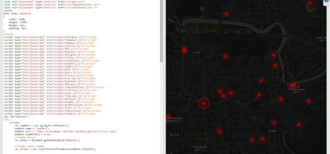
Listen up, coders! There will be a new series of lessons showing you how to use our SuperGIS Server JavaScript API. Since the first release of SuperGIS Server 3.2, we

GIS
Keep Up-to-Date with ArcGIS API 4.0 for JavaScript
ArcGIS API 4.0 for JavaScript — for building interactive, compelling web applications — is available in beta. We’re leveraging advances in browser technology and the power of the ArcGIS platform
Business
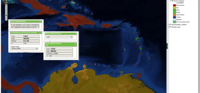
SuperGIS Server Extends Map Possibilities with Various Resources
This week, Supergeo releases the latest version of SuperGIS Server with plenty of new functions, including related tables, improved JavaScript print tool, and new JavaScript APIs supporting OGC layers. With
