
Tag "Integrated Informatics Inc."
GIS
Photogrammetry
Remote Sensing
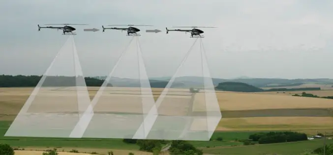
UAV System Allows GIS Professionals A Cost-effective Solution for Aerial Data
CALGARY, Alberta, Aug. 23, 2013 /CNW/ – Integrated Informatics Inc. now offers a complete aerial data solution, from data capture to analysis and data management, using senseFly’s eBee unmanned aerial
