
Tag "Image Processing Software"

Free and Open Source SAR Image Processing Software
This blog post will introduce best free/open source SAR Image Processing Software packages and provide a brief overview of their features.

Icaros Releases Version 5.0 of OneButton™ Drone Image Processing Software
Icaros Releases Version 5.0 of OneButton™ Drone Image Processing Software Free 30-Day Trial FAIRFAX, Virginia, USA, 15 May 2017 – Icaros Inc., a leading provider of aerial imaging software, is pleased

Icaros Releases 4.2.2 of OneButton UAS Image Processing Software
FAIRFAX, Virginia, USA – Icaros Inc., a leading provider of aerial imaging software, is pleased to announce Release 4.2.2 of OneButton. The release contains new features and improvements as well as
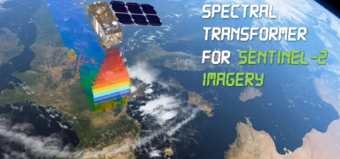
Spectral Transformer for Sentinel-2 Imagery Just Released
In a recent update, GeoSage has just released a software tool for the ESA’s 10m-resolution Sentinel-2 imagery. As many of you already know, the Sentinel-2 satellite is equipped with even more

Webinar: Introducing the Trimble Remote Sensing Suite
Trimble has announced a new software solution, the Trimble Remote Sensing Suite. The new software suite enables geospatial professionals to efficiently extract high-quality information from satellite imagery for environmental, urban
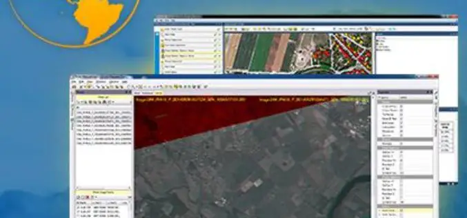
Trimble Transforms Satellite Data into Intelligence with its New Remote Sensing Suite
Customizable Data and Image Processing Software for Geospatial and Remote Sensing Professionals STUTTGART, Germany, Sept. 15, 2015—Trimble (NASDAQ: TRMB) announced today a new software solution, the Trimble® Remote Sensing Suite.

PCI Geomatics Releases Linux Versions of Geomatica 2014
RICHMOND HILL, Ontario, Canada—August 7, 2014: PCI Geomatics, a world leading developer of geo-imaging software and systems, today announces the release of three Linux versions of Geomatica 2014, the latest

