
Tag "Image Classification"
Remote Sensing
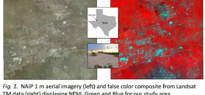
Utilizing Patch Metrics to Improve Classification of Remote Sensing Imagery
Classified remote sensing imagery is used to inform management of various natural resources, though achieving accurate results is a persistent challenge. In particular, some land cover types that are functionally
GIS
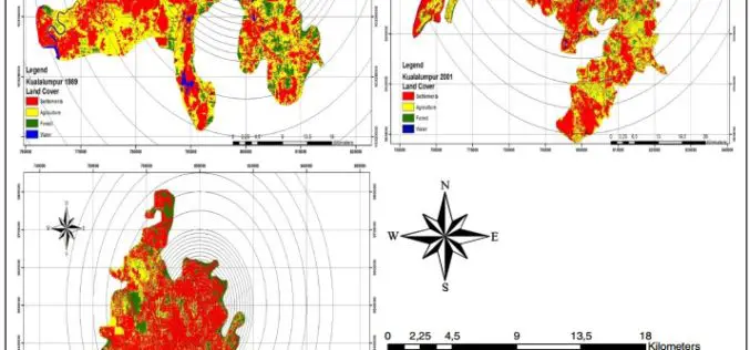
Monitoring and Modeling of Urban Growth Through Remote Sensing and GIS
Monitoring and Modeling of Urban Sprawl Through Remote Sensing and GIS in Kuala Lumpur, Malaysia – Mukesh Singh Boori, Maik Netzband , Komal Choudhary and Vít Voženílek Kuala Lumpur is
