
Tag "GPS"

GPS and Satellite Mapping Technology to Monitor the Forest Cover
Maharashtra, India – Maharashtra government will use Global Positioning System (GPS) and satellite mapping technology to monitor the forest cover in the state. “The government will use GPS and satellite
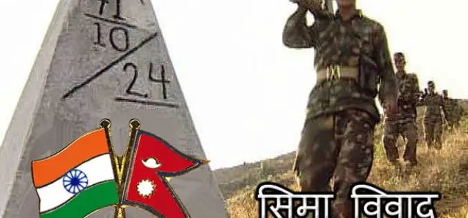
India-Nepal Border Pillars to be GPS-enabled
KATHMANDU: More than 8,000 pillars along the India-Nepal border will be linked to a Global Navigation Satellite System, allowing authorities for the first time to effectively manage the over 1,700-km-long

A New Mobile Phone App for Grassroots Mapping
University of Exeter academics have created an app which could help aid humanitarian rescue work in disaster-struck regions by using geographic data to map landscapes. The android mobile phone application
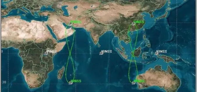
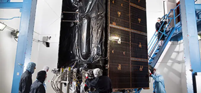
PSLV-C33 Successfully Launches India’s Seventh Navigation Satellite IRNSS-1G
Apr 28, 2016 – In its thirty-fifth flight (PSLV-C33), ISRO’s Polar Satellite Launch Vehicle successfully launched the 1425 kg IRNSS-1G, the seventh satellite in the Indian Regional Navigation Satellite System (IRNSS)

Launch of Nationwide Emergency Response System
April 26, 2016 – New Delhi- The “Nationwide Emergency Response System” project that seeks to establish a modern emergency response system by connecting police with the citizens. It includes integrating

Leica Geosystems Smart Antenna Provides Superior Performance
Static, long term projects requiring a high number of sensors now have a new affordable smart antenna. This same device can also enable dynamic monitoring with up to 10 Hz data
ISRO, Indian Railways to Sign MoU Over Remote Sensing and GIS
NEW DELHI: Aiming at effective use of space technology in remote sensing and graphic information system (GIS) based applications, Railways is set to join hands with Indian Space Research Organisation
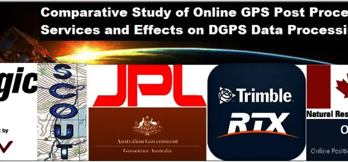
Comparative Study of Online GPS Post Processing Services and Effects on DGPS Data Processing
Comparative Study of Online GPS Post Processing Services and Effects on DGPS Data Processing – Manas Kumar Jha, Saurabh Singh, Nisha Upadhyay, Nishant Khare Increasing dependency on Differential Global Positioning
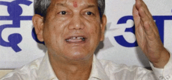
GIS, GPS Would Have Helped Tackle 2013 Uttrakhand Calamity Better
Dehradun: Underlining the importance of using Geographic Information System and Global Positioning System in the state’s remote hill areas, Chief Minister Harish Rawat has said maximum use of these technologies
Harris Corporation to Offer Fully Digital GPS III Payload
Highlights: Advances global asset navigation technology Delivers new digital reprogrammable capability to U.S. Air Force Combines legacy Exelis and Harris’ strengths in innovative digital payloads MELBOURNE, Fla.–(BUSINESS WIRE)–Harris Corporation (NYSE:HRS)
