
Tag "GPS"
Global Positioning System
Haryana Forest Department to Map Forest Damage using GPS
Haryana Forest Department is mapping forest damage by fire using Global Positioning System (GPS) and plans to use satellite pictures to evaluate changes in forest and plantation areas. Haryana Space
Global Positioning System
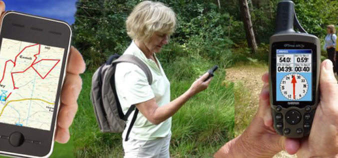
Introduction to GPS
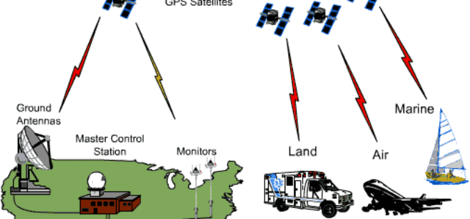
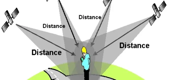
GLOBAL POSITIONING SYSTEM 1. Introduction The NAVSTAR Global Positioning System (GPS) is a satellite-based radio positioning and time – transfer system designed, financed, deployed and operated by US Department of
