
Tag "Global Mapper LiDAR Module"
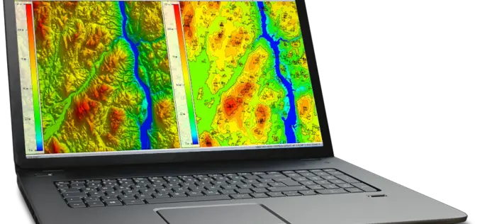
Global Mapper and LiDAR Module SDK v19 Released with Expanded Online Data Support and Improved LiDAR Ground Point Detection and Reclassification
Hallowell, Maine – October 17, 2017 – Blue Marble Geographics (www.bluemarblegeo.com) is pleased to announce the immediate availability of version 19 of the Global Mapper Software Development Kit (SDK) along with

Global Mapper LiDAR Module v18.2 Now Features Hydro-Flattening Capability
Blue Marble Geographics has recently announced the release of Global Mapper version 18.2, the latest edition of the Module includes support for hydro-flattening from 3D lines or polygons when creating
Global Mapper 18.1 Now Available with Improved 3D Viewing, New Fly-Through Visualization Options, and LIDAR QC Tools
Blue Marble Geographics is pleased to announce the immediate availability of Global Mapper version 18.1. This complimentary upgrade to the version 18 release includes numerous functional enhancements throughout many areas

Updated Global Mapper LiDAR Module Now Supports NIR LiDAR Data
Hallowell, Maine – May 27, 2015 – Blue Marble Geographics (bluemarblegeo.com) is pleased to announce the availability of an upgrade to the Global Mapper LiDAR Module. Released in conjunction with
