
Tag "GIS"
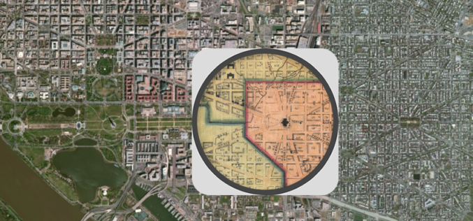
Federal Agencies ‘Mapping and Apping the Nation’
Maps today are much more than an outline of shapes and landmarks. We use them all the time in combination with the vast amount of information available online to plan

Vellore Corporation Introduce GIS for Streetlight
The Vellore Corporation is initiating a high-tech system to monitor and maintain streetlights. Geographic Information System (GIS) to monitor streetlight would be implemented as a public-private partnership project at an

GIS Governance for Tamil Nadu State, India
In recent news, Government of Tamil Nadu has announced the implementation of Geographical information System (GIS) for Tamil Nadu state. Tamil Nadu Geographical Information System (TNGIS) is an initiative to ensure

GIS to Locate Exact Electricity Snag in India
In a recent news, New Okhla Industrial Development Authority (hereinafter referred to as “NOIDA” or “the Authority”) in India has moved to insure better facilities to its electricity consumers. The Noida Discom

California’s Gateway Cities Launch Sophisticated GIS Planning Web Tool
The 28 municipalities in the Gateway Cities Council of Governments in southeastern Los Angeles County have teamed up to launch a groundbreaking new website, GatewayCOGSiteProspector.org, to attract businesses and jobs. Using
Gauhati University to Start GIS and RS in Undergraduate Courses
Gauhati University is now planning to implement, theoretical and practical approaches to the current syllabus of Geography for undergraduate students. Students studying geography as their major subject will get
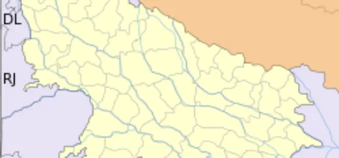
GIS to Modernize Irrigation System in Uttar Pradesh
In recent news Uttar Pradesh Government has launched second phase of the UP Water Sector Restructuring Project. The World Bank is funding the project with an interest free loan

Shift to LIDAR in Global GIS Market in Transportation Industry
Research and Markets, are the leading source for international market research and market data has announced the addition of the “Global GIS Market in Transportation Industry 2012-2016″ report. The

GIS for Defense and Intelligence
Most national security decisions involve geography. Whether assessing potential terrorist targets, planning where to strike on the battlefield, or deciding where to locate a new building with minimal environmental impact,
GIS to Map Forest Department’s Livelihood Programme
Jamshedpur, India: The forest department’s tribal empowerment livelihood programme will soon be controlled through geo satellite. The department has introduced a Geographical Information System (GIS) in the six forest divisions of Kolhan
