
Tag "GIS"
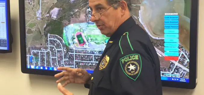
Mapping Application “SituMap”- Lets Emergency Responders See Scenes Virtually
CORPUS CHRISTI, Texas – A mapping application that lets first responders quickly and easily “see” an emergency situation with a digital command center is heading to the commercial market. The
National Conference on Open source GIS: Opportunities and Challenges
The last 25 years have seen dramatic developments in GIS technology and geographical information science. An important challenge for the GIS community is finding ways of taking advantage of latest
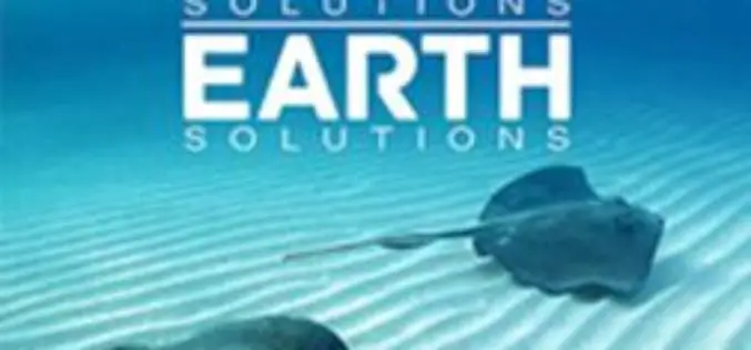
Explore How GIS Tools Help to Manage and Protect the Oceans
Ocean Solutions, Earth Solutions Esri Press Book Explores How GIS Tools Help to Manage and Protect the Oceans Ocean Solutions, Earth Solutions, a new book from Esri Press, chronicles how
UNESCO and UNITAR-UNOSAT Signed an Agreement to Protect Heritage Using Geospatial Technologies
UNESCO and UNITAR (the UN Institute for Training and Research) have signed an agreement to protect cultural and natural heritage sites with the latest geospatial technologies. It was signed at
4Dmapper to Store, Deliver and to Share Geospatial Data
4Dmapper is a web based geospatial product. If you are thinking that it is same as Google Earth or Bhuvan; NO, 4Dmapper is a rich, purely browser based 3D environment
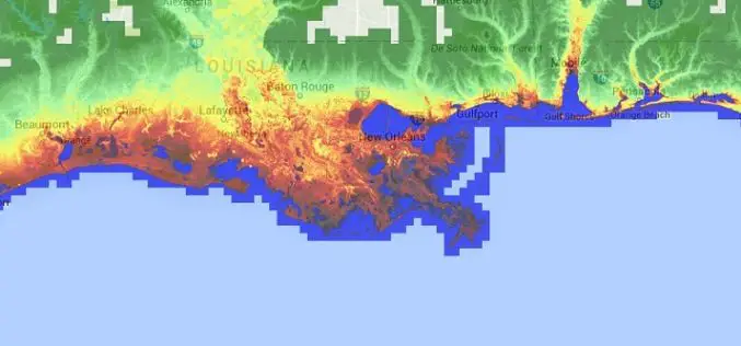
Accuracy Comparison of Publicly available DEMs and LiDAR DEM for Coastal Flood Risk Assessments
Coasts are experiencing the adverse consequences of hazards related to climate change and sea level rise and will be exposed to increasing risks of coastal flooding. Ten percent of the
Increase the Return on Your GIS Investment with GIS-Lite Applications
Increase the Return on Your GIS Investment with GIS-Lite Applications July 14, 2015 12:00-12:30 PM ET Deliver self-contained, interactive maps and lightweight GIS applications available to all end users with

New State Map from Indiana Geological Survey Makes Use of High-Res Imaging
BLOOMINGTON, Ind. — The Indiana Geological Survey has published a new state map that features the latest digital technology using high-resolution elevation data. The map was prepared using lidar data
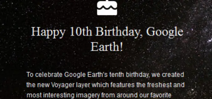
Celebrate Google Earth 10 Birthday with Two New Features
Happy Birthday, Google Earth! It has been a full decade to the launch of Google Earth, has provided the capability to visualize and analyze geographic data for various scientific applications
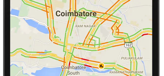
12 Cities in India to Get Live Traffic Updates Through Google Map
Never miss your flight or train, use Google Map to get real time traffic updates to route your drive around the traffic and save your time. Google has launched the

