
Tag "GIS"
Geological Survey of Israel Chooses SuperGIS Desktop
Supergeo Technologies Inc. announces that the Geological Survey of Israel utilizes SuperGIS Desktop and extensions such as Spatial Analyst, Spatial Statistics Analyst and 3D Analyst, to enhance the efficiency of

Geospatial Technology Helps Indian Air Force to Rediscover Lost Land
After a year of search with the help of satellite mapping and pain staking ground survey, a team of UP Board of Revenue and Indian Air Force (IAF) has been

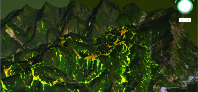
Webinar: Predicting the Future of Forests with SuperGIS Solutions
Predicting the Future of Forests with SuperGIS Solutions Thursday, September 10th 09:00 AM (GMT) Your local time For the sustainable use of bio-resources and maintain ecosystem function, Species Distribution Model
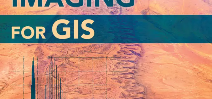
Earth Imaging Gets a Close-Up
New Esri Book Covers Basics of Collecting, Enhancing, and Interpreting Aerial Images within a GIS Satellites, aircraft, and unmanned aerial systems (UAS) collect imagery that can be displayed and analyzed
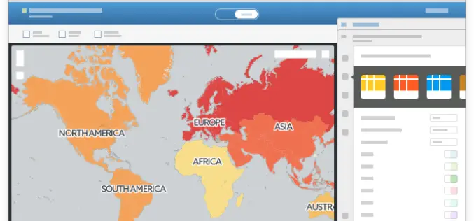
CartoDB Launches One-Click Mapping, the Mapping Revolution
Our brand new functionality will analyze your uploaded datasets and make suggestions of columns to visualize, offering you a selection of ready-made maps from the moment you click over to

Blue Marble Geographics Announces First Certified Trainer of Global Mapper
Blue Marble Geographics (bluemarblegeo.com) is pleased to announce that Engesat International S.A. of Brazil has successfully completed the training certification program. Together with his team, Laurent Martin, owner of Engesat

The ArcGIS Book: 10 Big Ideas about Applying Geography to Your World
Learn to Make GIS Web Maps, Work with Mobile Apps, and Do More, Using The ArcGIS Book from Esri People around the world are discovering that online maps do more

Real-Time Environment Info App – Connecting Smart Tech with GIS
Environmental Protection Administration, Taiwan has offered citizens and governmental sectors a comprehensive information portal since 2000, to meet the global concerns of environments. The portal provides visitors with various real-time

Property Sale Linking with GIS Maps
According to recent news by DNA, Maharashtra government is planning to link property sale with GIS Maps to make the system of computing ready reckoner rates more scientific and rational.

Esri Publishes Getting to Know ArcGIS, Fourth Edition
Use the Workbook and Exercises to Get Started Making Maps and Analyzing Data Learn the fundamentals of making digital maps, analyzing geospatial data, and building and editing spatial databases using
