
Tag "GIS"
Gain Fine Grain Control to Your Data
When building up a web map platform, it is crucial for developers to be able to control all the GIS layers. With the latest release of SuperGIS Server JavaScript APIs,
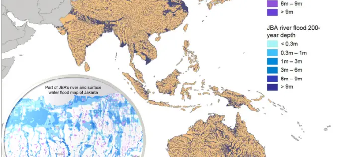
Asian Cities May See Increases in Flood Risk By 2020
Some rapidly growing Asian cities may see increases of up to 36% in the population at risk of extreme river and surface water flooding by 2020, according to recent study
Fiji Government Assures its Commitment to Support Geospatial Industry
The Fijian Government has remained committed to the wide-spread use of geospatial technologies and to bringing Fiji’s existing technologies in line with international standards. Those were the sentiments of Prime
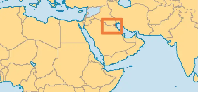
Abu Dhabi to Host Esri Middle East and North Africa User Conference
Emirate Serves as the Smart Government Role Model for All Nations in the Region to Replicate Redlands, California—For almost a decade, Abu Dhabi, United Arab Emirates, has typified smart government—primarily

Vricon Introduces Groundbreaking Medium-resolution Digital Surface Model
November 10, 2015 – Vricon releases a medium-resolution global digital surface model (DSM) for $1.99 per km2 that defines a new industry standard for this product class. Vricon DSM-10 is
An Integrated Workflow for Cadastre Mapping
Disputing ownership of real estate often occurs in a country with long history. Before the modernization, people usually just roughly point out their properties by obvious and immovable landscapes, such
Kuwait Spares No Effort in Keeping Up with Remote Sensing Systems
KUWAIT – Deputy Director General for Information Technology Majida Al-Naqib said on Sunday that Kuwait spares no effort to keep up with remote sensing system and harness all the capabilities

Make Your Data Persuasive With SuperGIS Desktop
With constant development in information technologies, people often worry about getting too much information instead of getting too little. The ability to sum up information into a simple but clear
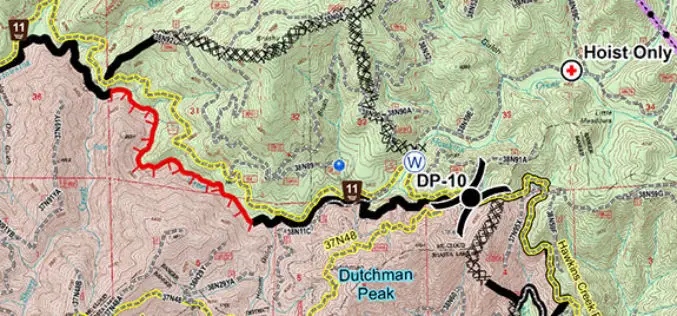
United States Forest Service Deploys the Avenza PDF Maps App for Fire-Fighting
PDF Maps app to aid firefighting and emergency response efforts The United States Forest Service (USFS) fights wildfires and other natural disasters in more than 155 national forests and 20

India Proposes Use of Geospatial Technologies to Strengthening Mutual Cooperation between BRICS Nations
The Minister for Science, Technology and Earth Sciences, Dr. Harsh Vardhan is leading an Indian delegation to the 3rd BRICS Ministerial Meeting on Science, Technology and Innovation (STI) being held

