
Tag "GIS Webinar"

Webinar: Integrated and Collaborative Geospatial Platform for Disaster Management
GIS provides an integrated platform for sharing data and applications for disaster management that supports all facets of Disaster Management including preparation, mitigation, response, recovery and rehabilitation. Find out how
SuperGIS Webinar.: Bring Field to Office by Smart Devices
SuperGIS Webinar: Bring Field to Office by Smart Devices Thursday, September 18th – 05:00 PM – 06:00 PM (Taipei Time, GMT+8) Wondering how on-site survey tasks and office GIS work can be well connected
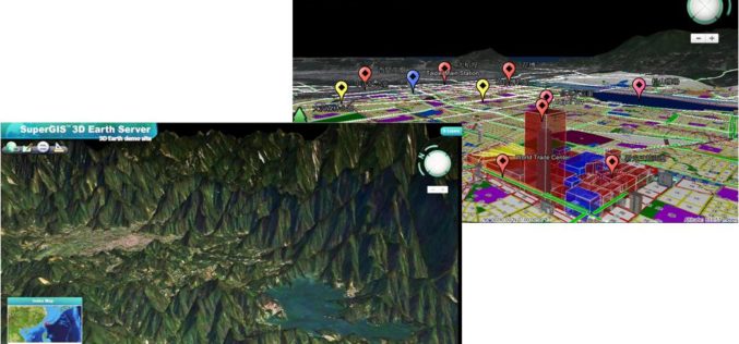
Smart City Solutions on 3D GIS Platform
Supergeo Technologies is going to bring GIS users a no-cost 3D GIS webinar to solve modern city management problems. The webinar will show how 3D GIS can be applied to
Webinar: Streamlining Field Survey & Mobile Mapping by SuperSurv
Supergeo Webinar: Streamlining Field Survey & Mobile Mapping by SuperSurv Join us on Wednesday, June 4th 11:00 AM – 12:00 PM (EDT, New York Time) How could smart devices assist in field survey
Streamlining Field Survey & Mobile Mapping by SuperSurv
Streamlining Field Survey & Mobile Mapping by SuperSurv Join on Wednesday, June 4th 11:00 AM – 12:00 PM (EDT, New York Time) About Webinar: How could smart devices assist in

Free SuperGIS Webinar on Facilitating Field Tasks by Mobile GIS
Facilitating Field Tasks by Mobile GIS Wednesday, May 7th; 11:00 AM – 12:00 PM (EDT, New York Time) Mobile GIS changes the way we capture and update field data. Geospatial information can
Webinar – First Approach to the OpenStreetMap Universe
First Approach to the OpenStreetMap Universe Mon, Apr 28, 2014 2:00 PM – 3:00 PM GMT The ICA-OSGeo Lab Network and MundoGEO are now pleased to inform the sixth webinar
Free SuperGIS Webinar – Optimizing the Use of Data with SuperGIS Desktop in A Cost-effective Way
Optimizing the Use of Data with SuperGIS Desktop in A Cost-effective Way Wednesday, 2nd April 4:00 PM – 5:00 PM (GMT+8) Worldwide users are looking for powerful GIS technologies to facilitate
Webinar – Optimizing the Use of Data with SuperGIS Desktop in A Cost-effective Way
Webinar on Optimizing the Use of Data with SuperGIS Desktop in A Cost-effective Way by SuperGeo Wednesday, 2nd April 4:00 PM – 5:00 PM (GMT+8) Worldwide users are looking for
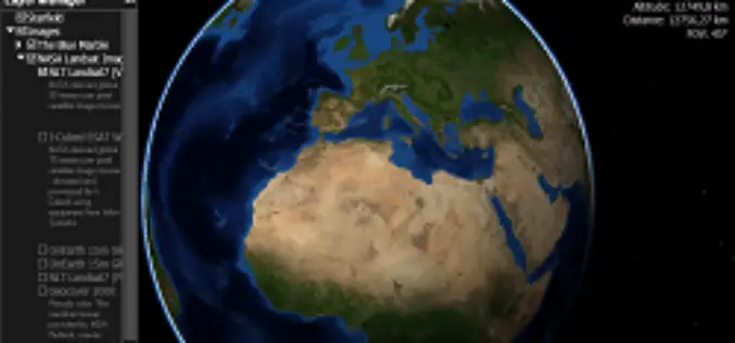
Webinar: NASA World Wind Virtual Globe Technology
Webinar: NASA World Wind Virtual Globe Technology on February 13, 2014 The ICA-OSGeo Lab Network and MundoGEO will be conducting the fourth webinar of the “Open Geospatial Science & Applications” webinar series . The webinars
