
Tag "GIS Webinar"

Live Webinar: A Simple App to Track your Mobile Workers, Cut Costs and Boost Productivity
Webinar: A Simple App to Track your Mobile Workers, Cut Costs and Boost Productivity Tuesday, December 9th from 12-12:30 PM ET By knowing the location of your mobile workers, you

Blue Marble Webinar – Geographic Calculator 2014: Working with Transformations
Geographic Calculator 2014: Working with Transformations December 9, 2014 at 2:00 pm (EST) One of the common questions we receive here is “How do I know which transformation to choose?”
SuperGIS Webinar: Monitor Environment Changes with 3D GIS Tech
Supergeo is going to hold a webinar to show how 3D GIS can be applied to rapid changes of natural and urban environments with SuperGIS 3D Earth Server 3.2, the
Webinar: Using GPS with Global Mapper
Using GPS with Global Mapper November 20, 2014 at 11:00 am (EST) Over the last decade, GPS positioning technology has become increasingly ubiquitous. It is built into our cars, our

Webinar: Responding to Natural and Urban Environment Changes with 3D GIS Tech
Responding to Natural and Urban Environment Changes with 3D GIS Tech When natural and human-made disasters occur in urban area, how do we respond and minimize the damage with GIS

Webinar: Python Capability in Geomatica 2014
On-demand Webinar – Python Capability in Geomatica 2014 Learn how to script your Geomatica image processing and combine it with other tasks in Python to streamline your data management

Webinar: The Role and Impact of Geospatial Information in the Big Data Arena
GeoConnections is pleased to invite you to a webinar on “The Role and Impact of Geospatial Information in the Big Data Arena” Tuesday, October 28, 2014 – 1:30-3:00 PM (Eastern Daylight
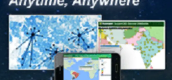
SuperGIS Webinar – Make Enterprise GIS Data & Service Available Anytime, Anywhere
SuperGIS Webinar – Make Enterprise GIS Data & Service Available Anytime, Anywhere Need to share large GIS data across the organization, and assign to field force for specific tasks? SuperGIS

URISA Connect Webinars & Virtual Education
URISA Connect is the virtual component of URISA’s educational offerings. Webinars that connect you to the cutting edge in technology and management lessons for the GIS industry are at your

Webinar: ArcGIS Platform for Forestry Planning & Management
GIS technology profoundly and positively impacts the way land managers, timber managers, and forestry specialists manage timber resources. Esri’s GIS software helps foresters and land managers meet the need of
