
Tag "GIS software"
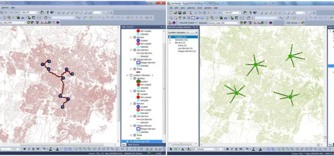
Supergeo Launches the Newest SuperGIS Network Analyst 3.2
Supergeo Technologies Inc., the global leading GIS software and solution provider, launches the newest SuperGIS Network Analyst 3.2 with stronger analysis performance and computing methods. SuperGIS Network Analyst 3.2 enables
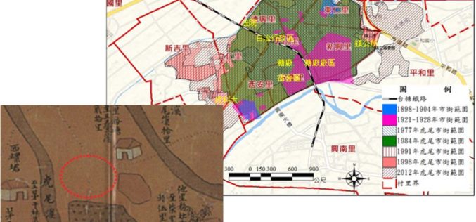
GIS Reappear Historical Township Maps
To better understand historical geospatial relations and complete the shortage of traditional historiography, which usually only uses textual materials, GIS technologies provide historians with modern method to rebuild the historical
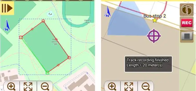
Latest SuperSurv 3.2 Boosts Convenience of Geospatial Data Collection
Developed by Supergeo, the latest version of SuperSurv (iOS/Android) 3.2 is upgraded with more global coordinates systems functions to bring users a more convenient and intuitive manipulation. SuperSurv, the mobile

SuperSurv Elevates Tequila Industry Development in Mexico
Supergeo Technologies, the global leading GIS software and solution provider, announce that Consejo Regulardor del Tequila (CRT), A. C., Mexico, utilizes SuperSurv to strengthen blue agave management and tequila quality.
Supergeo Releases SuperGIS Spatial Analyst 3.2
Supergeo Technologies, the global leading GIS software and solution provider, releases the latest SuperGIS Spatial Analyst 3.2 for worldwide SuperGIS Desktop 3.2 users to experience more advanced spatial analysis functions.

Pedestrian Evacuation Analyst Tool-Getting Out of Harm’s Way: Evacuation from Tsunamis
MENLO PARK, Calif. — Scientists at the U.S. Geological Survey have developed a new mapping tool, the Pedestrian Evacuation Analyst, for use by researchers and emergency managers to estimate how long
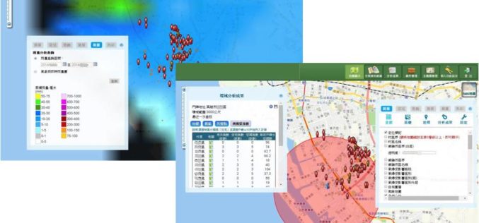
GIS-powered Vector Mosquito Data Management System to Enhance Public Health
In warm and humid subtropical areas like Southeast Asia, prevention and cure of vector mosquito is a key mission for epidemic and diseases control authorities. To achieve the goal, officers
The Latest SuperGIS Server 3.2 Upgraded for Enhanced Service Management and Efficiency
The newest version of SuperGIS Server 3.2, developed by Supergeo, is now launched to global users. The new edition provides enhanced user interface and service management workflow, to assist developers
Latest SuperGIS Desktop 3.2 Enhances Map Display Performance and Analysis Functions
Developed by Supergeo, the latest Desktop GIS, SuperGIS Desktop 3.2 now provides users with a more powerful and comprehensive platform to display and edit GIS data by improving stability, accelerating

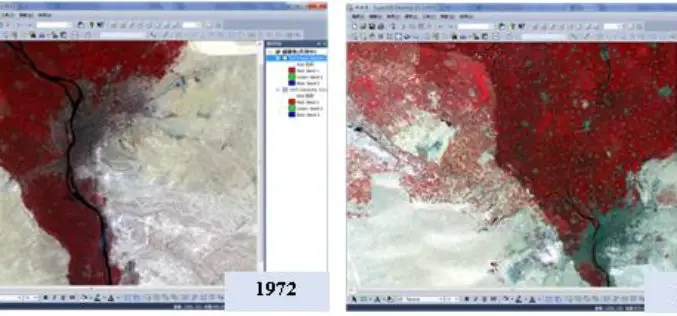
SuperGIS Assists South Africa in Economy Planning and Development
Supergeo Technologies, the global leading GIS software and solution provider, announces that Mangaung Metro Municipality (MMM), South Africa, utilizes SuperGIS Desktop and SuperSurv to evolve the city economic development. The

