
Tag "GIS software"
Boundless Sponsors American Geographical Society’s New AGS AP Teachers Fellows Program
Grant supports AP Human Geography teachers attending the AGS Annual Symposium Washington D.C – April 18, 2016 Boundless, the world leader in commercially supported open source GIS software, is proud
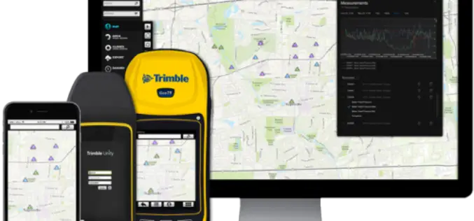
Trimble Launches New Version of its Smart Water Management Software to Streamline Utility Field Operations
Trimble Unity 3.0 Adds New Features to Ease Deployment and Connect Mobile Workers to Maps and Data SUNNYVALE, Calif., April 5, 2016—Trimble (NASDAQ: TRMB) announced today the latest version of
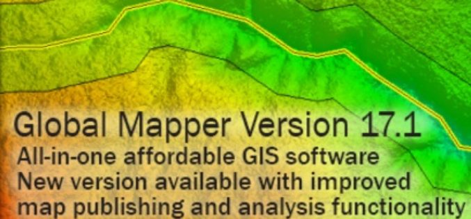
Global Mapper SDK v17.1 Released with Updates and Performance Improvements throughout the Toolkit
Hallowell, Maine – March 31, 2016 – Blue Marble Geographics (bluemarblegeo.com) is pleased to announce the immediate availability of version 17.1 of the Global Mapper Software Development Kit (SDK) along
Blue Marble Names Global Mapper Best Commercial GIS Software Available for $499
Hallowell, Maine – Blue Marble Geographics (bluemarblegeo.com) is pleased to announce that they have named Global Mapper the best commercial GIS software available for $499. Blue Marble’s geospatial data manipulation,
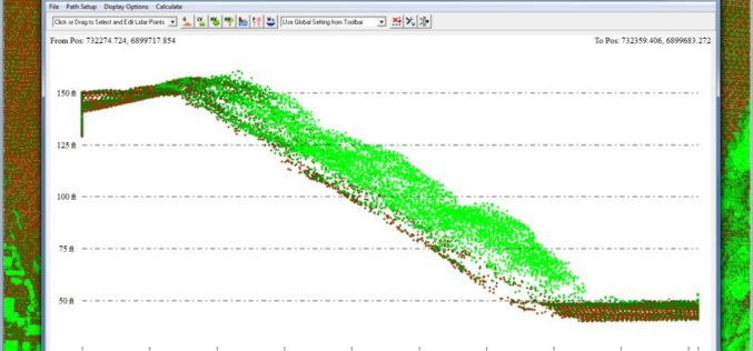
Put Your LiDAR Data on the GIS Platform!
By rapidly collecting massive data from the surface, LiDAR technology has dramatically changed the geospatial industry. LiDAR data can record much information delicately such as the elevation, the spectrum, and
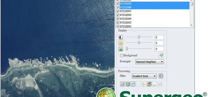
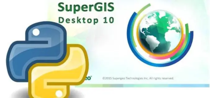
Experience Super Easy Raster Data Processing with a Single Click
Supergeo has added the Image Analyzer on the upcoming SuperGIS Desktop 10, which will provide greater convenience for GIS users to process raster data. Image Analyzer can integrate raster data

Vricon Joins Esri Partner Network to Expand Use of High-Resolution 3D Geodata
Redlands, California—Vricon, a leading provider of photo-realistic 3D mapping products and digital elevation models for the defense and security industries, is now a member of the Esri Partner Network. Vricon’s
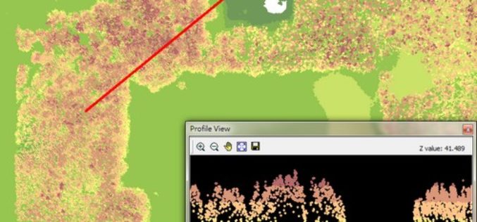
Global Mapper v17.1 LiDAR Module Now Available
Global Mapper v17.1 LiDAR Module Now Available With the New Custom Feature Extraction Tool Blue Marble Geographics is pleased to announce the immediate availability of an upgrade to the Global

Growing Adoption of Open-Source GIS Software Driving the Global GIS Market Through 2020, Says Technavio
LONDON–(BUSINESS WIRE)–According to the latest market study released by Technavio, the global geographic information system (GIS) market is set to reach close to USD 16 billion by 2020, growing at
Korean Geotechnology Company Selects SuperGIS Desktop to Process Spatial Data
Supergeo Technologies Inc., the total GIS software and solution provider announces that Nexgeo has selected SuperGIS Desktop for processing and visualizing geospatial data. Headquartered in Seoul, Nexgeo is a Korean consulting

