
Tag "GIS software"
Hexagon Geospatial Releases M.App X 2020 Update 1 – Cloud-based Enterprise Solution for Imagery Intelligence
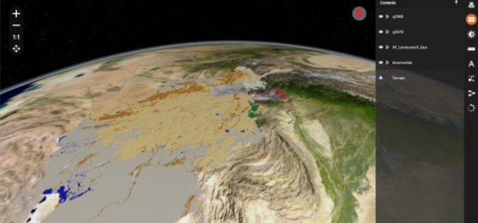
Hexagon Geospatial has recently released M.App X 2020 Update 1 with great new features. The major version of M.App X 2020 was released late in January 2020. M.App X is a

Maptitude Team Provides Sponsorship for FSU Geography Awareness Week & GIS Day
NEWTON, MASSACHUSETTS (USA) – The Geography Awareness Week will be held November 13 through November 16, 2018, by the Geography/GEOINT program at Fayetteville State University. There will be multiple activities over the
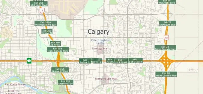
Free Highway Exits & Interchanges Data for Use with Maptitude 2018
Newton, Massachusetts (USA) – Caliper is excited to announce the release of new highway exit data for the United States and Canada. Users of Maptitude 2018 with the Canada or United States
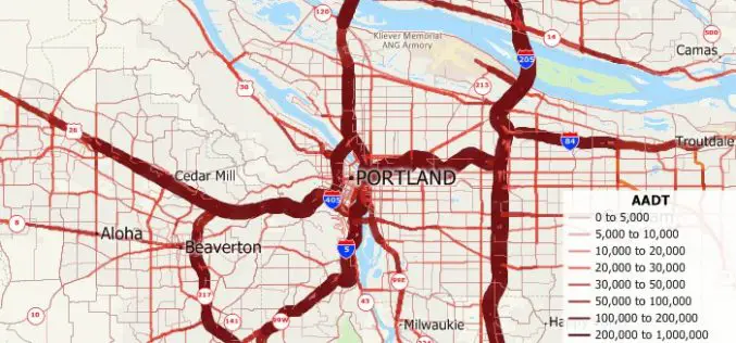
Free U.S. Traffic Count Data for Use with Maptitude 2018 Mapping Software
Newton, Massachusetts (USA) – Caliper is excited to announce the release of free USA traffic count data for Maptitude 2018 users. This latest map layer includes fields with total Annual Average Daily Traffic
TatukGIS Desktop Editor/Viewer 5
TatukGIS is pleased to announce the version 5 upgrade of its professional GIS Editor, a desktop GIS data editing and mapping application appropriate for a wide range of users and

Maptitude Mapping Software Team Provides Corporate Sponsorship for NEGIS Spring Conference
NEWTON MA (USA) – The Northeast Geographic Information Society (NEGIS) Spring Conference was held on April 26, 2018 in Boston, Massachusetts. NEGIS is a charitable organization whose purpose is to
Four Ways Maptitude 2018 Saves You Time & Money
NEWTON MA (USA) – Business analysts need their latest data in their maps. Franchisors and retailers need to ensure that their store network is optimized to best serve their customer
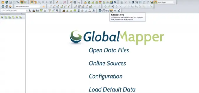
Update to Global Mapper Now Available with New Coffee-Making Toolbar
Hallowell, Maine – April 1, 2018 – Blue Marble Geographics (bluemarblegeo.com) is pleased to announce the immediate availability of an interim update to Global Mapper. This release introduces a major

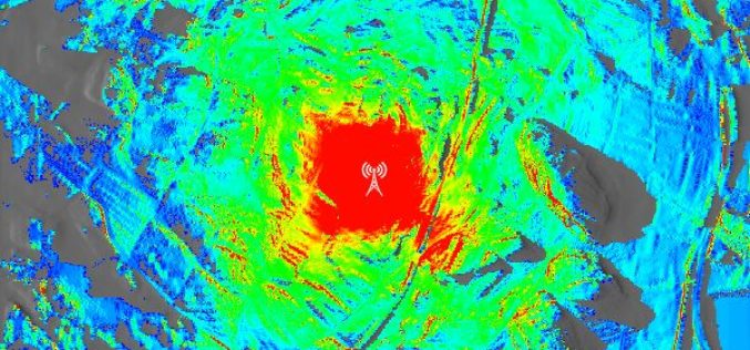
Global Mapper and LiDAR Module SDK v19.1 Now Available with New 3D Mesh Generation Capabilities
Hallowell, Maine – March 20, 2018 – Blue Marble Geographics (bluemarblegeo.com) is pleased to announce the immediate availability of version 19.1 of the Global Mapper Software Development Kit (SDK) along with
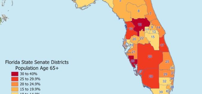
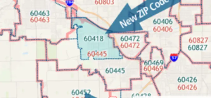
Maptitude 2018 USA Legislative and Congressional Districts
NEWTON, MASSACHUSETTS (USA) – Caliper is pleased to announce that the State Legislative Districts Data Product is now available for the entire USA or for a single US state. Three area databases
